Wakayama night lights from space
Night Light of Wakayama from space (Japan) Src. Average luminocity for 10x10km area is 72.6209% and for 50x50km: 15.3887%.
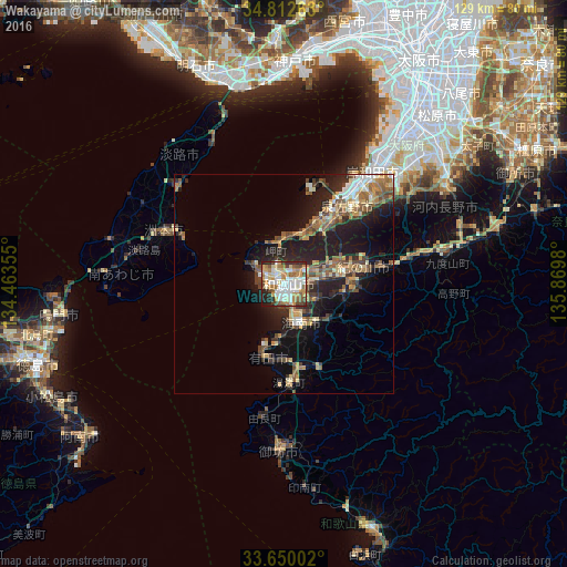

Analysis of Wakayama night lights 2016
Square area 10x10 km:
 17.22%
90-99
19.41%80-89
9.34%70-79
12.45%60-69
12.45%50-59
7.33%40-49
9.34%30-39
2.01%20-29
8.61%10-19
1.83%0-9
0%Square area 50x50 km:
1.42%90-99
1.99%80-89
2.23%70-79
2.05%60-69
2.29%50-59
2.72%40-49
3.08%30-39
2.01%20-29
5.3%10-19
10.7%0-9
66.21%Clear (daylight) street map image can be seen on geolist.org.
Map coordinates:
34° 48' 45.5" North, 134° 27' 48.8" East
34° 13' 60" North, 135° 10' 0" East
33° 39' 0.1" North, 135° 52' 11.3" East
Some cities around Wakayama sort by population:
• Minato
2.5 km =1.6 mi,  217°
217°
• Kishiwada
31.8 km =19.8 mi,  35°
35°
• Izumisano
24.6 km =15.3 mi,  34°
34°
• Kaizuka
29.4 km =18.3 mi, 34°
• Iwade
13.9 km =8.6 mi,  82°
82°
• Kainan
10.1 km =6.3 mi,  154°
154°
• Sumoto
28.3 km =17.6 mi,  295°
295°
• Tajiri
22.7 km =14.1 mi,  18°
18°
1926004 (p: 351,000)
Sources (retrieved 2019-11-25):
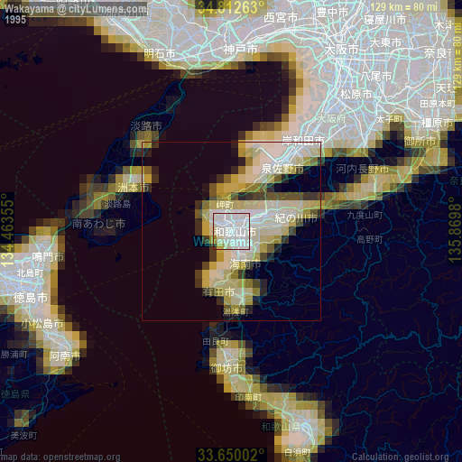
» NASA, Earths city lights 1995
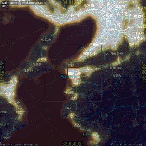
» NASA city lights 2003
» Earth at Night: Flat Maps 2012, 2016