Izumisano night lights from space
Night Light of Izumisano (Ōsaka) from space (Japan) Src. Average luminocity for 10x10km area is 58.9231% and for 50x50km: 31.3636%.
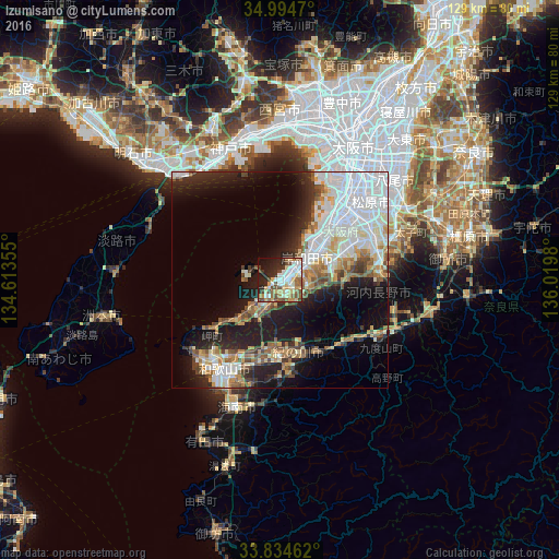
Analysis of Izumisano night lights 2016
Square area 10x10 km:
 12.06%
90-99
13.11%80-89
11.19%70-79
6.99%60-69
3.67%50-59
10.31%40-49
11.36%30-39
3.67%20-29
15.21%10-19
9.97%0-9
2.45%Square area 50x50 km:
9.79%90-99
6.14%80-89
3.38%70-79
2.69%60-69
2.93%50-59
3.71%40-49
3.44%30-39
2.6%20-29
7.09%10-19
12.4%0-9
45.82%Clear (daylight) street map image can be seen on geolist.org.
Map coordinates:
34° 59' 40.9" North, 134° 36' 48.8" East
34° 25' 0" North, 135° 19' 0" East
33° 50' 4.6" North, 136° 1' 11.3" East
Some cities around Izumisano sort by population:
• Sakai
23.1 km =14.4 mi,  36°
36°
• Wakayama
24.6 km =15.3 mi,  214°
214°
• Kishiwada
7.2 km =4.5 mi, 39°
• Matsubara
27.1 km =16.8 mi,  52°
52°
• Kaizuka
4.8 km =3 mi, 39°
• Takaishi
15.4 km =9.6 mi, 43°
• Iwade
18.5 km =11.5 mi,  180°
180°
• Tajiri
6.6 km =4.1 mi,  279°
279°
1861091 (p: 100,595)
Sources (retrieved 2019-11-25):
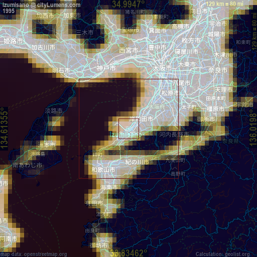
» NASA, Earths city lights 1995
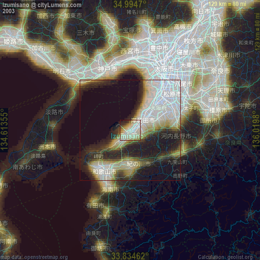
» NASA city lights 2003
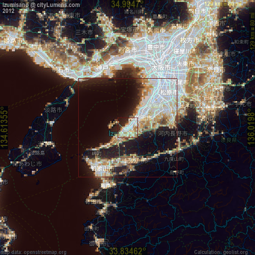
» Earth at Night: Flat Maps 2012, 2016