Kishiwada night lights from space
Night Light of Kishiwada (Ōsaka) from space (Japan) Src. Average luminocity for 10x10km area is 65.5874% and for 50x50km: 40.4994%.
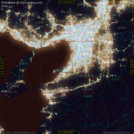
Analysis of Kishiwada night lights 2016
Square area 10x10 km:
 23.25%
90-99
18.53%80-89
5.94%70-79
4.2%60-69
5.94%50-59
8.57%40-49
3.32%30-39
4.37%20-29
12.59%10-19
9.09%0-9
4.2%Square area 50x50 km:
15.36%90-99
7.84%80-89
4.06%70-79
3.17%60-69
3.79%50-59
4.16%40-49
3.64%30-39
2.97%20-29
7.04%10-19
12.41%0-9
35.56%Clear (daylight) street map image can be seen on geolist.org.
Map coordinates:
35° 2' 39.7" North, 134° 39' 48.8" East
34° 28' 0" North, 135° 22' 0" East
33° 53' 5.9" North, 136° 4' 11.3" East
Some cities around Kishiwada sort by population:
• Sakai
15.9 km =9.9 mi,  35°
35°
• Izumi
6.4 km =4 mi,  73°
73°
• Matsubara
20.1 km =12.5 mi,  56°
56°
• Izumisano
7.2 km =4.5 mi,  219°
219°
• Kaizuka
2.4 km =1.5 mi, 219°
• Izumiōtsu
4.8 km =3 mi, 39°
• Takaishi
8.3 km =5.2 mi,  47°
47°
• Tajiri
12 km =7.5 mi,  248°
248°
1859383 (p: 205,561)
Sources (retrieved 2019-11-25):
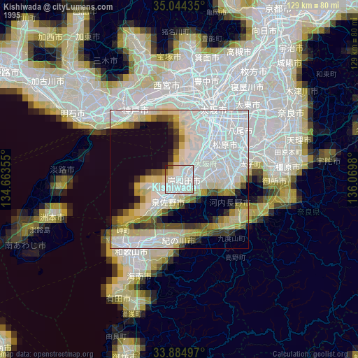
» NASA, Earths city lights 1995
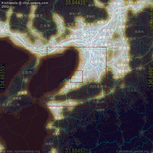
» NASA city lights 2003
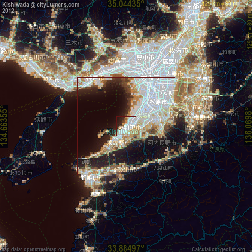
» Earth at Night: Flat Maps 2012, 2016