Minato night lights from space
Night Light of Minato (Wakayama) from space (Japan) Src. Average luminocity for 10x10km area is 61.4927% and for 50x50km: 14.4948%.
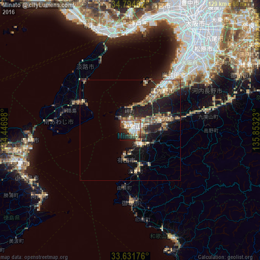

Analysis of Minato night lights 2016
Square area 10x10 km:
 15.02%
90-99
16.3%80-89
6.96%70-79
8.79%60-69
8.79%50-59
5.31%40-49
8.42%30-39
4.03%20-29
10.81%10-19
11.36%0-9
4.21%Square area 50x50 km:
1.21%90-99
1.81%80-89
2.16%70-79
1.93%60-69
2.16%50-59
2.65%40-49
2.9%30-39
1.9%20-29
5.04%10-19
10.31%0-9
67.93%Clear (daylight) street map image can be seen on geolist.org.
Map coordinates:
34° 47' 40.6" North, 134° 26' 49.1" East
34° 12' 54.7" North, 135° 9' 0.4" East
33° 37' 54.3" North, 135° 51' 11.6" East
Some cities around Minato sort by population:
• Wakayama
2.5 km =1.6 mi,  37°
37°
• Kishiwada
34.3 km =21.3 mi, 35°
• Izumisano
27.1 km =16.8 mi,  34°
34°
• Kaizuka
31.9 km =19.8 mi, 35°
• Iwade
15.8 km =9.8 mi,  75°
75°
• Kainan
9.2 km =5.7 mi,  140°
140°
• Sumoto
27.9 km =17.3 mi,  300°
300°
• Tajiri
25.1 km =15.6 mi,  20°
20°
1852383 (p: 375,339)
Sources (retrieved 2019-11-25):
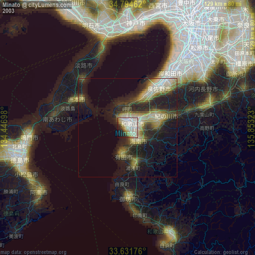
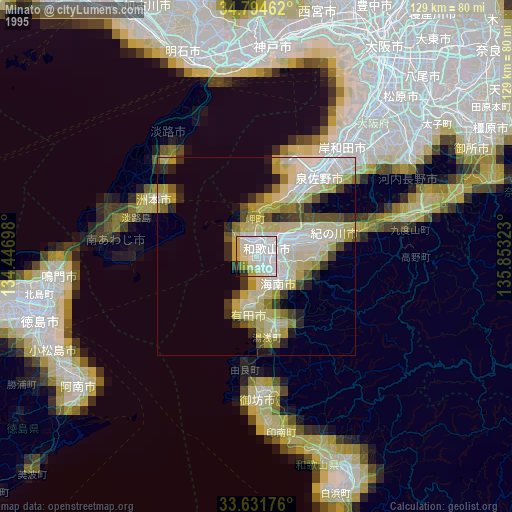
» NASA, Earths city lights 1995
» NASA city lights 2003
» Earth at Night: Flat Maps 2012, 2016