Sumoto night lights from space
Night Light of Sumoto (Hyōgo) from space (Japan) Src. Average luminocity for 10x10km area is 11.2875% and for 50x50km: 3.6355%.
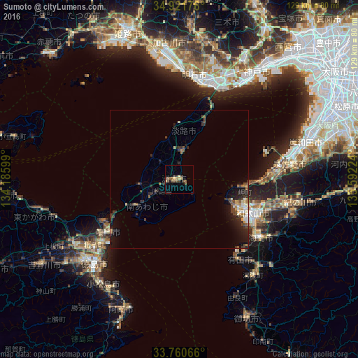
Analysis of Sumoto night lights 2016
Square area 10x10 km:
 0%
0%90-99
0%80-89
2.75%70-79
1.28%60-69
2.2%50-59
2.93%40-49
3.11%30-39
1.65%20-29
2.38%10-19
0.92%0-9
82.78%Square area 50x50 km:
0.23%90-99
0.32%80-89
0.52%70-79
0.39%60-69
0.52%50-59
0.45%40-49
0.82%30-39
0.64%20-29
1.45%10-19
2.63%0-9
92.03%Clear (daylight) street map image can be seen on geolist.org.
Map coordinates:
34° 55' 18.3" North, 134° 11' 9.6" East
34° 20' 35.6" North, 134° 53' 20.8" East
33° 45' 38.4" North, 135° 35' 32.1" East
Some cities around Sumoto sort by population:
• Minato
27.9 km =17.3 mi,  120°
120°
• Wakayama
28.3 km =17.6 mi, 115°
• Akashi
36.3 km =22.6 mi,  17°
17°
• Izumisano
40.1 km =24.9 mi,  78°
78°
• Narutochō-mitsuishi
30.3 km =18.8 mi,  238°
238°
• Kainan
36.7 km =22.8 mi,  125°
125°
• Fukura
18.6 km =11.6 mi, 239°
• Tajiri
34 km =21.1 mi,  74°
74°
1851426 (p: 39,546)
Sources (retrieved 2019-11-25):
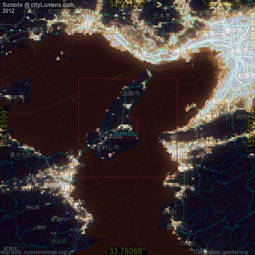
» Earth at Night: Flat Maps 2012, 2016