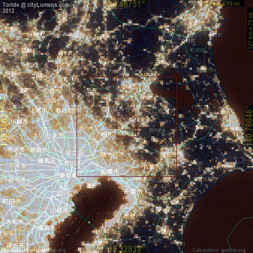
Toride night lights from space
Night Light of Toride (Ibaraki) from space (Japan) Src. Average luminocity for 10x10km area is 49.9359% and for 50x50km: 54.1947%.

Analysis of Toride night lights 2016
Square area 10x10 km:
 2.93%
2.93%90-99
6.04%80-89
5.86%70-79
9.52%60-69
8.61%50-59
10.44%40-49
12.45%30-39
18.86%20-29
24.73%10-19
0.55%0-9
0%Square area 50x50 km:
13.93%90-99
11.47%80-89
5.62%70-79
5.84%60-69
6.97%50-59
7.42%40-49
8.29%30-39
8.82%20-29
12.33%10-19
10.04%0-9
9.26%Clear (daylight) street map image can be seen on geolist.org.
Map coordinates:
36° 28' 3" North, 139° 22' 48.8" East
35° 54' 0" North, 140° 4' 60" East
35° 19' 42.2" North, 140° 47' 11.3" East
Some cities around Toride sort by population:
• Kashiwa
10.4 km =6.5 mi,  246°
246°
• Abiko
7.1 km =4.4 mi,  238°
238°
• Ryūgasaki
9 km =5.6 mi,  90°
90°
• Ushiku
8.7 km =5.4 mi,  31°
31°
• Moriya
8.4 km =5.2 mi,  296°
296°
• Shiroi
11.2 km =7 mi,  187°
187°
• Mitsukaidō
15.8 km =9.8 mi,  325°
325°
• Fujishiro
3.5 km =2.2 mi,  58°
58°
2110729 (p: 80,716)
Sources (retrieved 2019-11-25):
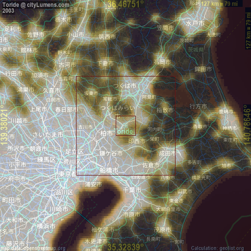
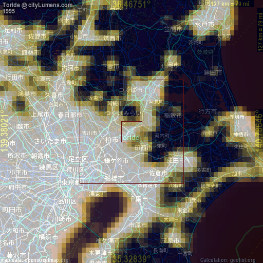
» NASA, Earths city lights 1995
» NASA city lights 2003
» Earth at Night: Flat Maps 2012, 2016