Toyooka night lights from space
Night Light of Toyooka (Hyōgo) from space (Japan) Src. Average luminocity for 10x10km area is 7.9963% and for 50x50km: 1.1877%.
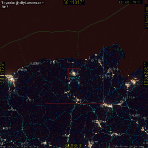
Analysis of Toyooka night lights 2016
Square area 10x10 km:
 0.18%
0.18%90-99
0.55%80-89
0.37%70-79
1.83%60-69
1.1%50-59
2.93%40-49
2.2%30-39
0.18%20-29
3.3%10-19
0.18%0-9
87.18%Square area 50x50 km:
0.01%90-99
0.02%80-89
0.19%70-79
0.27%60-69
0.17%50-59
0.24%40-49
0.33%30-39
0.24%20-29
0.45%10-19
0.12%0-9
97.97%Clear (daylight) street map image can be seen on geolist.org.
Map coordinates:
36° 6' 36.6" North, 134° 7' 2.1" East
35° 32' 24.3" North, 134° 49' 13.4" East
34° 57' 57.2" North, 135° 31' 24.6" East
Some cities around Toyooka sort by population:
• Tottori
53.3 km =33.1 mi,  265°
265°
• Maizuru
47.5 km =29.5 mi,  102°
102°
• Fukuchiyama
37.9 km =23.5 mi,  134°
134°
• Sasayama
63.7 km =39.6 mi,  145°
145°
• Ayabe
47.2 km =29.3 mi,  124°
124°
• Nishiwaki
63.4 km =39.4 mi,  167°
167°
• Yamazakichō-nakabirose
64.9 km =40.3 mi,  202°
202°
• Miyazu
32.8 km =20.4 mi,  91°
91°
1849831 (p: 46,500)
Sources (retrieved 2019-11-25):
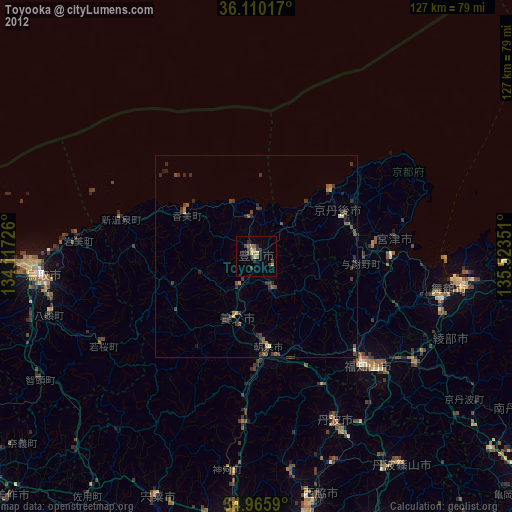
» Earth at Night: Flat Maps 2012, 2016