Maizuru night lights from space
Night Light of Maizuru (Kyoto) from space (Japan) Src. Average luminocity for 10x10km area is 15.7546% and for 50x50km: 3.1508%.
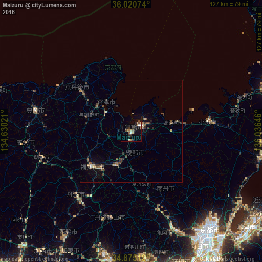
Analysis of Maizuru night lights 2016
Square area 10x10 km:
 0.92%
0.92%90-99
2.01%80-89
2.75%70-79
1.1%60-69
2.38%50-59
2.2%40-49
2.01%30-39
3.66%20-29
4.58%10-19
10.44%0-9
67.95%Square area 50x50 km:
0.13%90-99
0.26%80-89
0.41%70-79
0.28%60-69
0.37%50-59
0.68%40-49
0.74%30-39
0.65%20-29
1.08%10-19
1.1%0-9
94.3%Clear (daylight) street map image can be seen on geolist.org.
Map coordinates:
36° 1' 14.7" North, 134° 37' 48.8" East
35° 27' 0" North, 135° 19' 60" East
34° 52' 30.7" North, 136° 2' 11.3" East
Some cities around Maizuru sort by population:
• Kameoka
54.9 km =34.1 mi,  155°
155°
• Fukuchiyama
25.8 km =16 mi,  229°
229°
• Arashiyama
57.6 km =35.8 mi,  147°
147°
• Sasayama
43.9 km =27.3 mi,  193°
193°
• Toyooka
47.5 km =29.5 mi,  282°
282°
• Ayabe
18.3 km =11.4 mi,  204°
204°
• Obama
37.7 km =23.4 mi,  82°
82°
• Miyazu
16.4 km =10.2 mi,  304°
304°
1857766 (p: 92,465)
Sources (retrieved 2019-11-25):
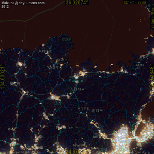
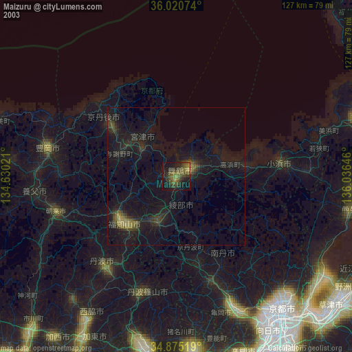
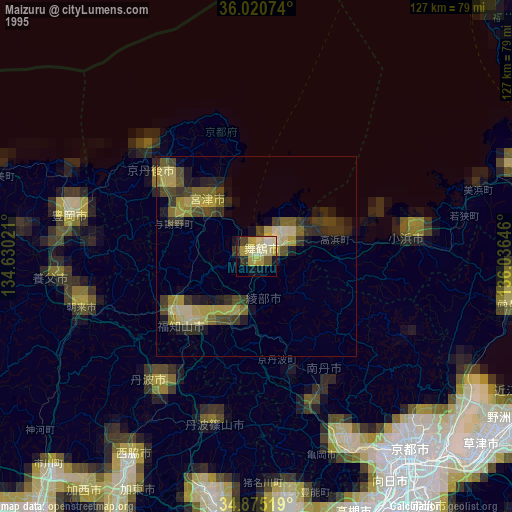
» NASA, Earths city lights 1995
» NASA city lights 2003
» Earth at Night: Flat Maps 2012, 2016