Ayabe night lights from space
Night Light of Ayabe (Kyoto) from space (Japan) Src. Average luminocity for 10x10km area is 8.7491% and for 50x50km: 3.6687%.
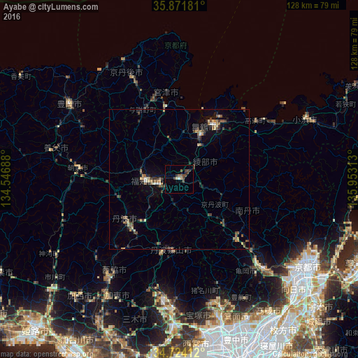
Analysis of Ayabe night lights 2016
Square area 10x10 km:
 0.37%
0.37%90-99
0.37%80-89
0.73%70-79
0.73%60-69
0.37%50-59
2.93%40-49
4.21%30-39
2.01%20-29
0.73%10-19
1.1%0-9
86.45%Square area 50x50 km:
0.13%90-99
0.28%80-89
0.43%70-79
0.41%60-69
0.54%50-59
0.76%40-49
0.8%30-39
0.71%20-29
1.27%10-19
1.21%0-9
93.47%Clear (daylight) street map image can be seen on geolist.org.
Map coordinates:
35° 52' 18.5" North, 134° 32' 48.8" East
35° 18' 0" North, 135° 15' 0" East
34° 43' 26.8" North, 135° 57' 11.3" East
Some cities around Ayabe sort by population:
• Sandachō
46.3 km =28.8 mi,  182°
182°
• Kameoka
45.1 km =28 mi,  137°
137°
• Maizuru
18.3 km =11.4 mi,  24°
24°
• Fukuchiyama
12.1 km =7.5 mi,  270°
270°
• Sasayama
26.1 km =16.2 mi,  186°
186°
• Toyooka
47.2 km =29.3 mi,  304°
304°
• Nishiwaki
43.2 km =26.8 mi,  215°
215°
• Miyazu
26.6 km =16.5 mi,  346°
346°
1864873 (p: 37,612)
Sources (retrieved 2019-11-25):
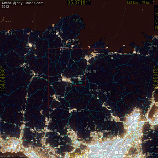
» Earth at Night: Flat Maps 2012, 2016