Sasayama night lights from space
Night Light of Sasayama (Hyōgo) from space (Japan) Src. Average luminocity for 10x10km area is 5.6976% and for 50x50km: 8.5119%.
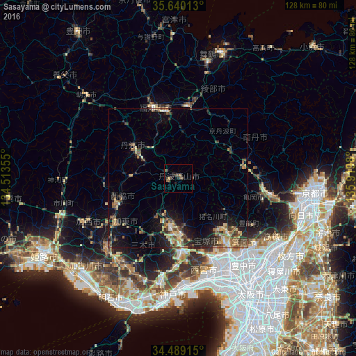
Analysis of Sasayama night lights 2016
Square area 10x10 km:
 0%
0%90-99
0%80-89
0.52%70-79
0.17%60-69
0.87%50-59
2.62%40-49
3.15%30-39
0.7%20-29
2.27%10-19
1.57%0-9
88.11%Square area 50x50 km:
0.34%90-99
0.69%80-89
1.29%70-79
1.22%60-69
1.36%50-59
1.76%40-49
1.37%30-39
1.87%20-29
2.88%10-19
6.02%0-9
81.19%Clear (daylight) street map image can be seen on geolist.org.
Map coordinates:
35° 38' 24.5" North, 134° 30' 48.8" East
35° 4' 0" North, 135° 13' 0" East
34° 29' 20.9" North, 135° 55' 11.3" East
Some cities around Sasayama sort by population:
• Takarazuka
32.4 km =20.1 mi,  156°
156°
• Kawanishi
33.2 km =20.6 mi,  146°
146°
• Sandachō
20.3 km =12.6 mi,  177°
177°
• Ikeda
33.4 km =20.8 mi,  144°
144°
• Fukuchiyama
27.5 km =17.1 mi,  340°
340°
• Ayabe
26.1 km =16.2 mi,  6°
6°
• Nishiwaki
23.9 km =14.9 mi,  247°
247°
• Yashiro
28.2 km =17.5 mi,  233°
233°
1852901 (p: 47,204)
Sources (retrieved 2019-11-25):
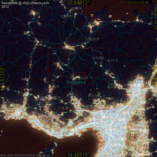
» Earth at Night: Flat Maps 2012, 2016