Kashiwa night lights from space
Night Light of Kashiwa (Chiba) from space (Japan) Src. Average luminocity for 10x10km area is 85.6259% and for 50x50km: 68.3405%.
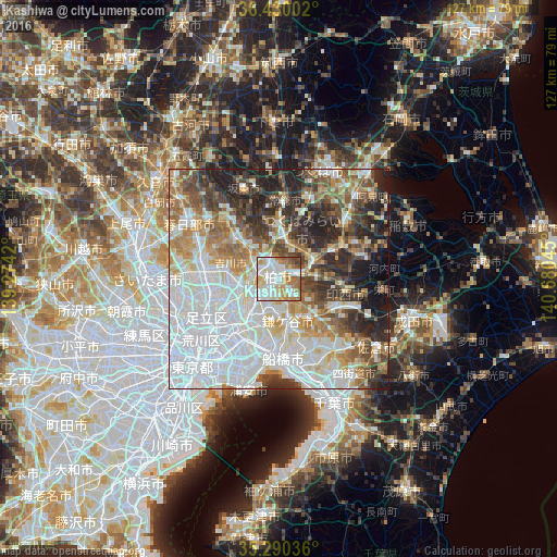
Analysis of Kashiwa night lights 2016
Square area 10x10 km:
 26.4%
26.4%90-99
30.94%80-89
11.19%70-79
10.31%60-69
11.71%50-59
4.72%40-49
2.27%30-39
2.45%20-29
0%10-19
0%0-9
0%Square area 50x50 km:
25.39%90-99
14.95%80-89
6.3%70-79
6.5%60-69
8.09%50-59
7.1%40-49
7.16%30-39
7.61%20-29
10.14%10-19
5.76%0-9
1.01%Clear (daylight) street map image can be seen on geolist.org.
Map coordinates:
36° 25' 48.1" North, 139° 16' 27.1" East
35° 51' 44.1" North, 139° 58' 38.4" East
35° 17' 25.3" North, 140° 40' 49.6" East
Some cities around Kashiwa sort by population:
• Matsudo
11.4 km =7.1 mi,  216°
216°
• Nagareyama
6.8 km =4.2 mi,  264°
264°
• Abiko
3.6 km =2.2 mi,  82°
82°
• Yashio
13.2 km =8.2 mi,  250°
250°
• Toride
10.4 km =6.5 mi,  66°
66°
• Yoshikawa
12.7 km =7.9 mi,  285°
285°
• Moriya
8.2 km =5.1 mi,  14°
14°
• Shiroi
10.6 km =6.6 mi,  130°
130°
1859924 (p: 340,221)
Sources (retrieved 2019-11-25):
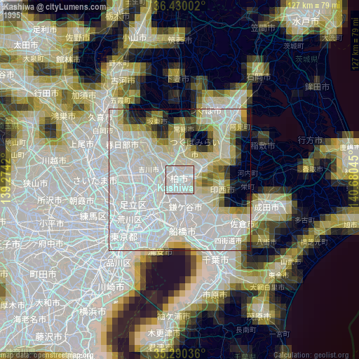
» NASA, Earths city lights 1995
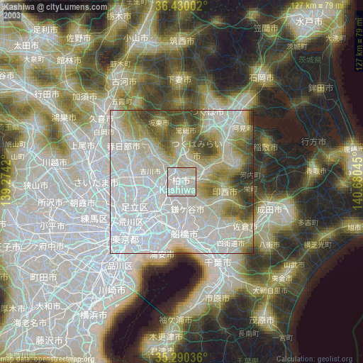
» NASA city lights 2003
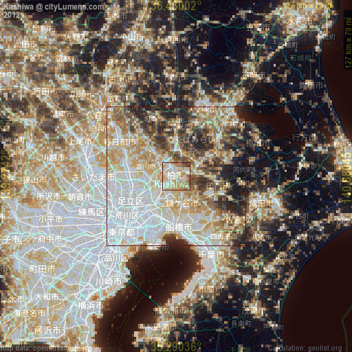
» Earth at Night: Flat Maps 2012, 2016