Tochigi night lights from space
Night Light of Tochigi from space (Japan) Src. Average luminocity for 10x10km area is 34.7028% and for 50x50km: 32.5249%.
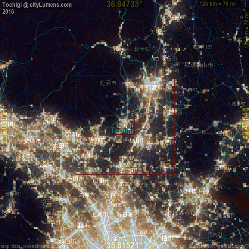
Analysis of Tochigi night lights 2016
Square area 10x10 km:
 1.4%
1.4%90-99
2.1%80-89
3.5%70-79
4.02%60-69
5.77%50-59
10.31%40-49
6.99%30-39
6.99%20-29
24.83%10-19
30.59%0-9
3.5%Square area 50x50 km:
2.09%90-99
5.27%80-89
3.09%70-79
4.09%60-69
5.62%50-59
6.26%40-49
7.28%30-39
8.3%20-29
14.42%10-19
19.8%0-9
23.78%Clear (daylight) street map image can be seen on geolist.org.
Map coordinates:
36° 56' 50.4" North, 139° 1' 48.8" East
36° 22' 60" North, 139° 43' 60" East
35° 48' 54.8" North, 140° 26' 11.3" East
Some cities around Tochigi sort by population:
• Oyama
11 km =6.8 mi,  147°
147°
• Kanuma
18.5 km =11.5 mi,  0°
0°
• Sano
15.3 km =9.5 mi,  241°
241°
• Yūki
16.3 km =10.1 mi,  124°
124°
• Mibu
7 km =4.3 mi,  58°
58°
• Kaminokawa
17.3 km =10.7 mi,  71°
71°
• Tanuma
13.6 km =8.5 mi,  262°
262°
• Fujioka
16.6 km =10.3 mi,  206°
206°
1850311 (p: 82,133)
Sources (retrieved 2019-11-25):
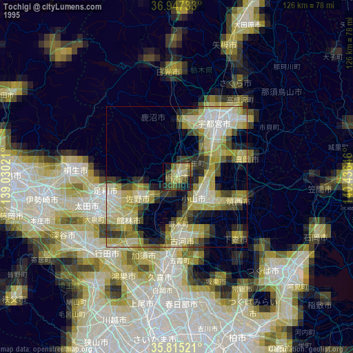
» NASA, Earths city lights 1995
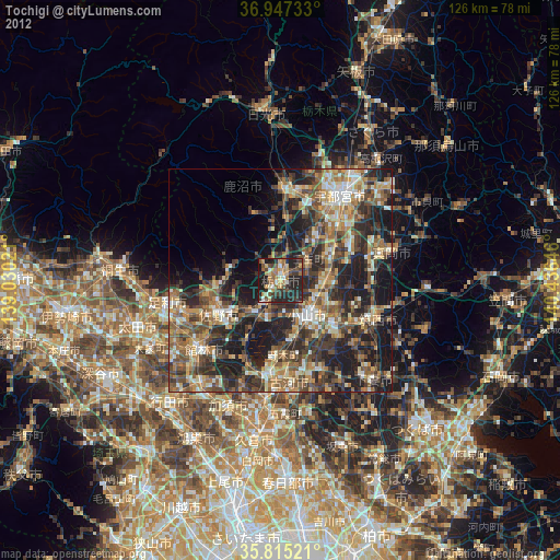
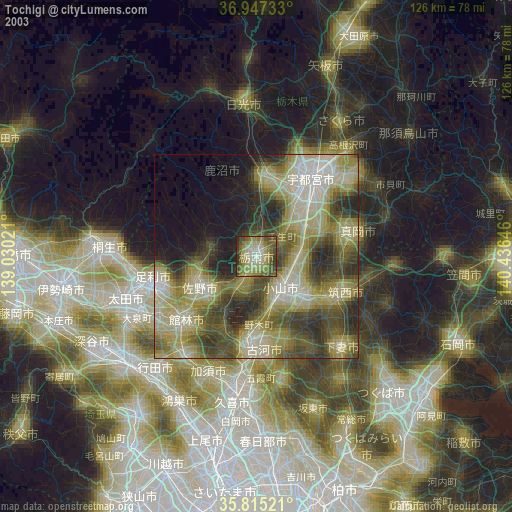
» NASA city lights 2003
» Earth at Night: Flat Maps 2012, 2016