Tarui night lights from space
Night Light of Tarui (Gifu) from space (Japan) Src. Average luminocity for 10x10km area is 30.8791% and for 50x50km: 24.4404%.
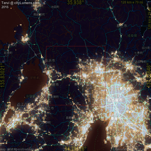
Analysis of Tarui night lights 2016
Square area 10x10 km:
 0.37%
0.37%90-99
1.65%80-89
3.66%70-79
4.03%60-69
5.86%50-59
9.71%40-49
6.41%30-39
6.59%20-29
16.67%10-19
25.09%0-9
19.96%Square area 50x50 km:
2.02%90-99
2.92%80-89
3.32%70-79
3.92%60-69
6.03%50-59
6.34%40-49
4.07%30-39
3.5%20-29
5.7%10-19
9.13%0-9
53.05%Clear (daylight) street map image can be seen on geolist.org.
Map coordinates:
35° 56' 16.8" North, 135° 49' 48.8" East
35° 22' 0" North, 136° 31' 60" East
34° 47' 28.5" North, 137° 14' 11.3" East
Some cities around Tarui sort by population:
• Gifu-shi
21.5 km =13.4 mi,  73°
73°
• Ichinomiya
25.3 km =15.7 mi,  107°
107°
• Ōgaki
7.8 km =4.8 mi,  103°
103°
• Nagahama
24.2 km =15 mi,  274°
274°
• Kuroda
22.7 km =14.1 mi,  94°
94°
• Sobue
21.1 km =13.1 mi,  127°
127°
• Kasamatsuchō
21.2 km =13.2 mi, 90°
• Gōdo
8.2 km =5.1 mi,  47°
47°
1850600 (p: 29,070)
Sources (retrieved 2019-11-25):
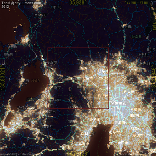
» Earth at Night: Flat Maps 2012, 2016