Gōdo night lights from space
Night Light of Gōdo (Gifu) from space (Japan) Src. Average luminocity for 10x10km area is 43.696% and for 50x50km: 25.1647%.
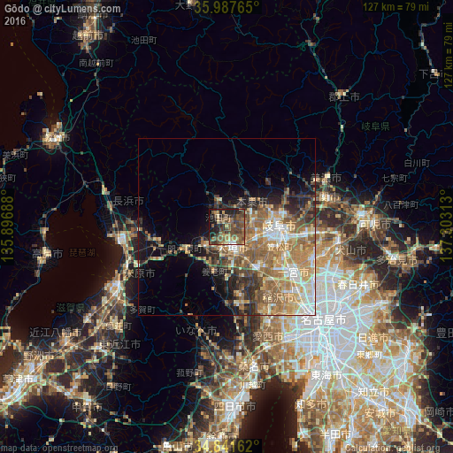
Analysis of Gōdo night lights 2016
Square area 10x10 km:
 0.55%
0.55%90-99
1.83%80-89
4.95%70-79
2.93%60-69
12.82%50-59
16.12%40-49
19.41%30-39
11.36%20-29
13.37%10-19
15.02%0-9
1.65%Square area 50x50 km:
2.9%90-99
3.75%80-89
3.18%70-79
4.14%60-69
6.09%50-59
6.15%40-49
3.79%30-39
3.14%20-29
4.94%10-19
6.42%0-9
55.49%Clear (daylight) street map image can be seen on geolist.org.
Map coordinates:
35° 59' 15.5" North, 135° 53' 48.8" East
35° 25' 0" North, 136° 36' 0" East
34° 50' 29.8" North, 137° 18' 11.3" East
Some cities around Gōdo sort by population:
• Gifu-shi
14.5 km =9 mi,  87°
87°
• Ichinomiya
22.3 km =13.9 mi,  125°
125°
• Ōgaki
7.6 km =4.7 mi,  168°
168°
• Kakamigahara
24.2 km =15 mi, 90°
• Kuroda
18.2 km =11.3 mi,  114°
114°
• Tarui
8.2 km =5.1 mi,  227°
227°
• Sobue
21.3 km =13.2 mi,  150°
150°
• Kasamatsuchō
16.1 km =10 mi, 110°
1863611 (p: 20,758)
Sources (retrieved 2019-11-25):
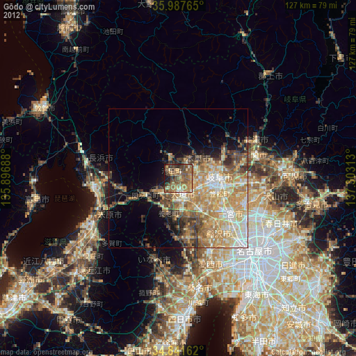
» Earth at Night: Flat Maps 2012, 2016