Ōgaki night lights from space
Night Light of Ōgaki (Gifu) from space (Japan) Src. Average luminocity for 10x10km area is 60.4835% and for 50x50km: 32.0603%.
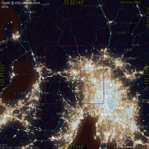
Analysis of Ōgaki night lights 2016
Square area 10x10 km:
 4.95%
4.95%90-99
8.97%80-89
8.06%70-79
10.44%60-69
11.36%50-59
23.63%40-49
16.67%30-39
9.71%20-29
5.49%10-19
0.73%0-9
0%Square area 50x50 km:
5.02%90-99
5.37%80-89
3.97%70-79
4.92%60-69
6.97%50-59
7.24%40-49
4.21%30-39
3.71%20-29
6.03%10-19
6.94%0-9
45.62%Clear (daylight) street map image can be seen on geolist.org.
Map coordinates:
35° 55' 17.2" North, 135° 54' 48.8" East
35° 21' 0" North, 136° 37' 0" East
34° 46' 28.1" North, 137° 19' 11.3" East
Some cities around Ōgaki sort by population:
• Gifu-shi
15.3 km =9.5 mi,  58°
58°
• Ichinomiya
17.5 km =10.9 mi,  108°
108°
• Inazawa
18.8 km =11.7 mi,  126°
126°
• Kuroda
15.1 km =9.4 mi,  90°
90°
• Tarui
7.8 km =4.8 mi,  283°
283°
• Sobue
14.4 km =8.9 mi,  140°
140°
• Kasamatsuchō
13.7 km =8.5 mi,  82°
82°
• Gōdo
7.6 km =4.7 mi,  348°
348°
1854703 (p: 150,570)
Sources (retrieved 2019-11-25):
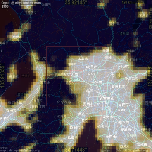
» NASA, Earths city lights 1995
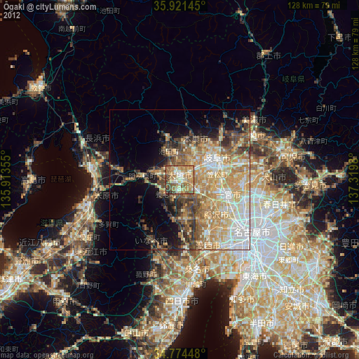
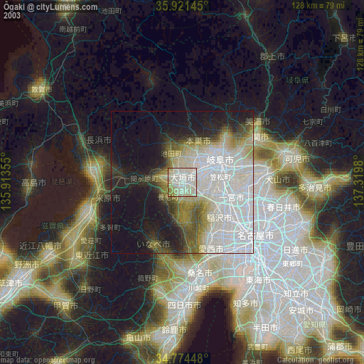
» NASA city lights 2003
» Earth at Night: Flat Maps 2012, 2016