Nagahama night lights from space
Night Light of Nagahama (Shiga) from space (Japan) Src. Average luminocity for 10x10km area is 32.9048% and for 50x50km: 8.5373%.
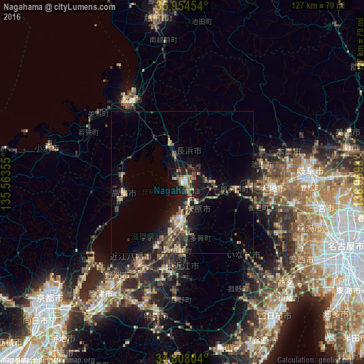
Analysis of Nagahama night lights 2016
Square area 10x10 km:
 2.2%
2.2%90-99
2.93%80-89
4.4%70-79
3.66%60-69
9.52%50-59
6.59%40-49
5.13%30-39
4.03%20-29
10.99%10-19
30.22%0-9
20.33%Square area 50x50 km:
0.3%90-99
0.61%80-89
1.5%70-79
0.98%60-69
1.47%50-59
1.44%40-49
1.6%30-39
1.6%20-29
2.61%10-19
7.45%0-9
80.44%Clear (daylight) street map image can be seen on geolist.org.
Map coordinates:
35° 57' 16.3" North, 135° 33' 48.8" East
35° 22' 60" North, 136° 16' 0" East
34° 48' 28.9" North, 136° 58' 11.3" East
Some cities around Nagahama sort by population:
• Ōgaki
32 km =19.9 mi,  96°
96°
• Hikone
14.9 km =9.3 mi,  185°
185°
• Ōmihachiman
32.2 km =20 mi,  208°
208°
• Tsuruga
34.8 km =21.6 mi,  326°
326°
• Youkaichi
30.3 km =18.8 mi, 191°
• Tarui
24.2 km =15 mi,  94°
94°
• Kitahama
39.9 km =24.8 mi,  232°
232°
• Gōdo
30.4 km =18.9 mi,  83°
83°
1856243 (p: 62,089)
Sources (retrieved 2019-11-25):
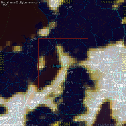
» NASA, Earths city lights 1995
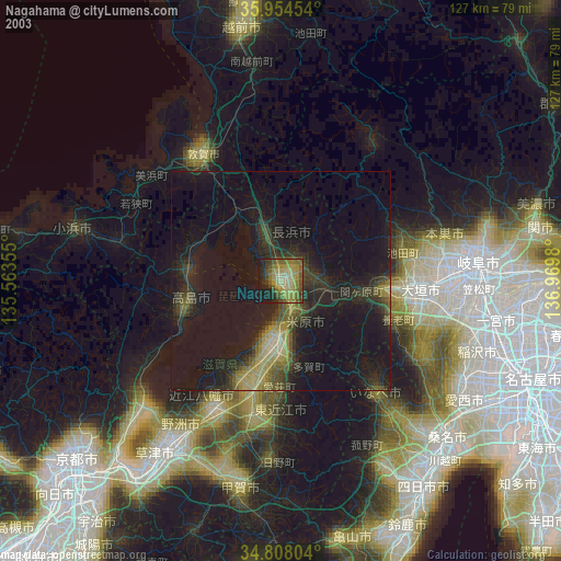
» NASA city lights 2003
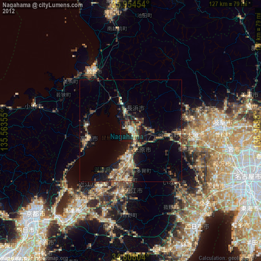
» Earth at Night: Flat Maps 2012, 2016