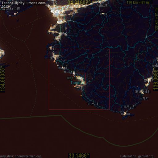
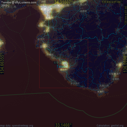
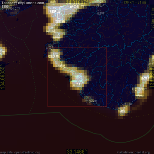
Tanabe night lights from space
Night Light of Tanabe (Wakayama) from space (Japan) Src. Average luminocity for 10x10km area is 20.9304% and for 50x50km: 1.776%.

Analysis of Tanabe night lights 2016
Square area 10x10 km:
 0.37%
0.37%90-99
2.38%80-89
1.28%70-79
5.49%60-69
2.75%50-59
6.23%40-49
4.03%30-39
2.38%20-29
1.47%10-19
18.68%0-9
54.95%Square area 50x50 km:
0.01%90-99
0.11%80-89
0.1%70-79
0.4%60-69
0.26%50-59
0.35%40-49
0.47%30-39
0.3%20-29
0.66%10-19
0.83%0-9
96.51%Clear (daylight) street map image can be seen on geolist.org.
Map coordinates:
34° 18' 57.9" North, 134° 39' 48.8" East
33° 43' 60" North, 135° 22' 0" East
33° 8' 47.8" North, 136° 4' 11.3" East
Some cities around Tanabe sort by population:
• Minato
57.2 km =35.5 mi,  339°
339°
• Wakayama
58.6 km =36.4 mi, 341°
• Hashimoto
68.8 km =42.8 mi,  19°
19°
• Iwade
57.6 km =35.8 mi,  355°
355°
• Kainan
48.6 km =30.2 mi, 343°
• Shingū
57 km =35.4 mi,  90°
90°
• Gobō
24.6 km =15.3 mi,  312°
312°
• Kōya
58.3 km =36.2 mi, 23°
1850708 (p: 69,563)
Sources (retrieved 2019-11-25):
» NASA, Earths city lights 1995
» NASA city lights 2003
» Earth at Night: Flat Maps 2012, 2016