Hashimoto night lights from space
Night Light of Hashimoto (Wakayama) from space (Japan) Src. Average luminocity for 10x10km area is 21.5934% and for 50x50km: 21.0248%.
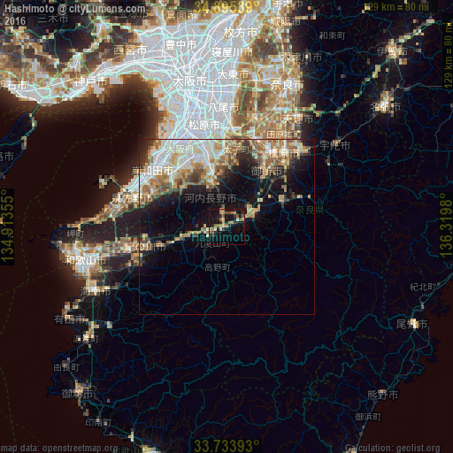
Analysis of Hashimoto night lights 2016
Square area 10x10 km:
 0%
0%90-99
1.47%80-89
2.2%70-79
3.48%60-69
6.23%50-59
4.03%40-49
3.85%30-39
1.83%20-29
6.78%10-19
24.91%0-9
45.24%Square area 50x50 km:
3.61%90-99
4.06%80-89
2.96%70-79
2.72%60-69
3.47%50-59
3.6%40-49
2.16%30-39
2.31%20-29
3.44%10-19
8.37%0-9
63.3%Clear (daylight) street map image can be seen on geolist.org.
Map coordinates:
34° 53' 43.4" North, 134° 54' 48.8" East
34° 19' 0" North, 135° 37' 0" East
33° 44' 2.1" North, 136° 19' 11.3" East
Some cities around Hashimoto sort by population:
• Izumi
25 km =15.5 mi,  317°
317°
• Tondabayashichō
20.5 km =12.7 mi,  356°
356°
• Kashihara-shi
26.8 km =16.7 mi,  37°
37°
• Takaishi
27.9 km =17.3 mi, 322°
• Gojō
8.5 km =5.3 mi,  64°
64°
• Gose
18.3 km =11.4 mi, 35°
• Yoshino-chō
23.8 km =14.8 mi,  68°
68°
• Kōya
11.5 km =7.1 mi,  177°
177°
1863082 (p: 57,115)
Sources (retrieved 2019-11-25):
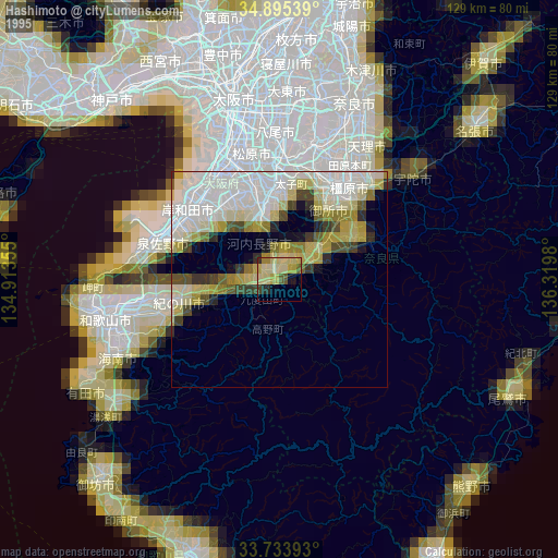
» NASA, Earths city lights 1995
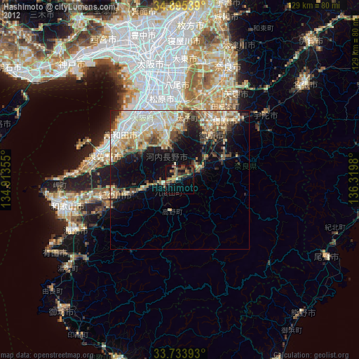
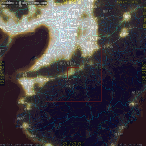
» NASA city lights 2003
» Earth at Night: Flat Maps 2012, 2016