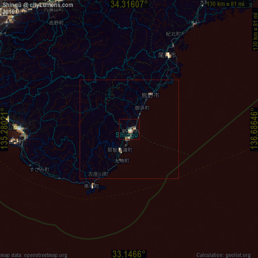
Shingū night lights from space
Night Light of Shingū (Wakayama) from space (Japan) Src. Average luminocity for 10x10km area is 10.0073% and for 50x50km: 0.633%.
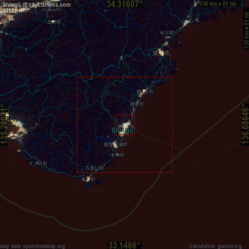
Analysis of Shingū night lights 2016
Square area 10x10 km:
 0%
0%90-99
0.92%80-89
2.01%70-79
0.73%60-69
1.65%50-59
2.56%40-49
1.1%30-39
2.93%20-29
4.03%10-19
0.18%0-9
83.88%Square area 50x50 km:
0%90-99
0.04%80-89
0.13%70-79
0.06%60-69
0.06%50-59
0.16%40-49
0.08%30-39
0.19%20-29
0.32%10-19
0.06%0-9
98.91%Clear (daylight) street map image can be seen on geolist.org.
Map coordinates:
34° 18' 57.9" North, 135° 16' 48.8" East
33° 43' 60" North, 135° 58' 60" East
33° 8' 47.8" North, 136° 41' 11.3" East
Some cities around Shingū sort by population:
• Tanabe
57 km =35.4 mi,  270°
270°
• Hashimoto
73.1 km =45.4 mi,  332°
332°
• Gojō
73.4 km =45.6 mi,  339°
339°
• Gose
82.9 km =51.5 mi, 343°
• Gobō
77 km =47.8 mi,  282°
282°
• Owase
42.1 km =26.2 mi,  28°
28°
• Yoshino-chō
74.6 km =46.4 mi,  351°
351°
• Kōya
62.9 km =39.1 mi, 328°
1847947 (p: 31,619)
Sources (retrieved 2019-11-25):
» Earth at Night: Flat Maps 2012, 2016