Narutochō-mitsuishi night lights from space
Night Light of Narutochō-mitsuishi (Tokushima) from space (Japan) Src. Average luminocity for 10x10km area is 21.7784% and for 50x50km: 8.1908%.
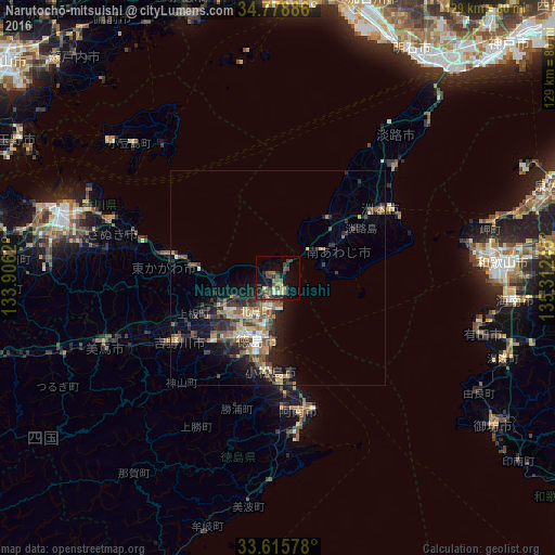
Analysis of Narutochō-mitsuishi night lights 2016
Square area 10x10 km:
 0.18%
0.18%90-99
1.65%80-89
3.85%70-79
1.65%60-69
3.66%50-59
3.48%40-49
6.78%30-39
4.95%20-29
8.42%10-19
17.58%0-9
47.8%Square area 50x50 km:
0.4%90-99
0.65%80-89
1.46%70-79
0.98%60-69
1.13%50-59
1.57%40-49
1.96%30-39
1.85%20-29
3.21%10-19
4.99%0-9
81.81%Clear (daylight) street map image can be seen on geolist.org.
Map coordinates:
34° 46' 43.9" North, 133° 54' 22.3" East
34° 11' 57.6" North, 134° 36' 33.6" East
33° 36' 56.8" North, 135° 18' 44.8" East
Some cities around Narutochō-mitsuishi sort by population:
• Tokushima
15.3 km =9.5 mi,  194°
194°
• Anan
31.7 km =19.7 mi,  173°
173°
• Komatsushimachō
22.3 km =13.9 mi, 186°
• Sumoto
30.3 km =18.8 mi,  58°
58°
• Ishii
21.3 km =13.2 mi,  226°
226°
• Kamojimachō-jōgejima
28 km =17.4 mi,  238°
238°
• Shido
42.4 km =26.3 mi,  288°
288°
• Fukura
11.7 km =7.3 mi, 56°
1855580 (p: 64,082)
Sources (retrieved 2019-11-25):
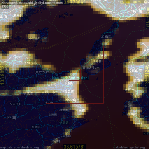
» NASA, Earths city lights 1995
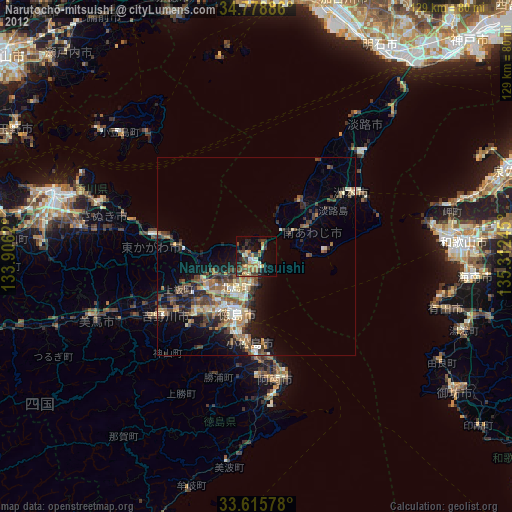
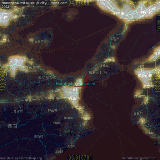
» NASA city lights 2003
» Earth at Night: Flat Maps 2012, 2016