Shingū night lights from space
Night Light of Shingū (Fukuoka) from space (Japan) Src. Average luminocity for 10x10km area is 48.9634% and for 50x50km: 24.7658%.
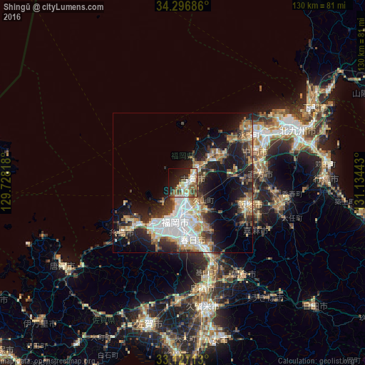
Analysis of Shingū night lights 2016
Square area 10x10 km:
 8.24%
8.24%90-99
10.07%80-89
6.41%70-79
7.33%60-69
6.59%50-59
11.72%40-49
5.13%30-39
1.65%20-29
15.93%10-19
16.3%0-9
10.62%Square area 50x50 km:
4.9%90-99
4.66%80-89
2.42%70-79
2.94%60-69
3.2%50-59
4.12%40-49
2.58%30-39
3.86%20-29
6.89%10-19
13.79%0-9
50.62%Clear (daylight) street map image can be seen on geolist.org.
Map coordinates:
34° 17' 48.7" North, 129° 43' 41.4" East
33° 42' 50.4" North, 130° 25' 52.7" East
33° 7' 37.7" North, 131° 8' 3.9" East
Some cities around Shingū sort by population:
• Fukuoka
12.7 km =7.9 mi,  186°
186°
• Ōnojō
20.3 km =12.6 mi,  167°
167°
• Dazaifu
24 km =14.9 mi,  159°
159°
• Koga
3.9 km =2.4 mi,  56°
56°
• Nishifukuma
7.1 km =4.4 mi,  34°
34°
• Umi
17.8 km =11.1 mi, 155°
• Sasaguri
15.6 km =9.7 mi,  134°
134°
• Miyata
20.5 km =12.7 mi,  91°
91°
1852109 (p: 25,991)
Sources (retrieved 2019-11-25):
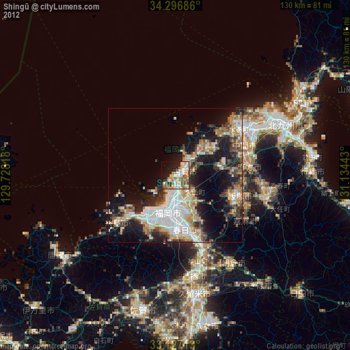
» Earth at Night: Flat Maps 2012, 2016