Fukuoka night lights from space
Night Light of Fukuoka from space (Japan) Src. Average luminocity for 10x10km area is 90.3516% and for 50x50km: 26.3396%.
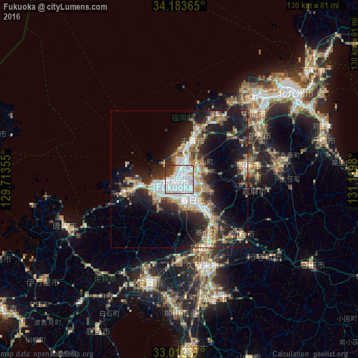
Analysis of Fukuoka night lights 2016
Square area 10x10 km:
 54.95%
90-99
26.74%80-89
3.11%70-79
0.92%60-69
1.83%50-59
0.37%40-49
4.4%30-39
5.86%20-29
1.83%10-19
0%0-9
0%Square area 50x50 km:
5.09%90-99
5%80-89
2.84%70-79
2.84%60-69
3.45%50-59
3.95%40-49
2.89%30-39
4.03%20-29
8.18%10-19
14.56%0-9
47.17%Clear (daylight) street map image can be seen on geolist.org.
Map coordinates:
34° 11' 1.1" North, 129° 42' 48.8" East
33° 36' 0" North, 130° 25' 0" East
33° 0' 44.5" North, 131° 7' 11.3" East
Some cities around Fukuoka sort by population:
• Chikushino-shi
14.7 km =9.1 mi,  141°
141°
• Ōnojō
9.2 km =5.7 mi, 141°
• Dazaifu
13.9 km =8.6 mi,  134°
134°
• Koga
15.5 km =9.6 mi,  17°
17°
• Nishifukuma
19.2 km =11.9 mi, 16°
• Umi
9.3 km =5.8 mi,  112°
112°
• Sasaguri
12.6 km =7.8 mi,  82°
82°
• Shingū
12.7 km =7.9 mi,  6°
6°
1863967 (p: 1,392,289)
Sources (retrieved 2019-11-25):
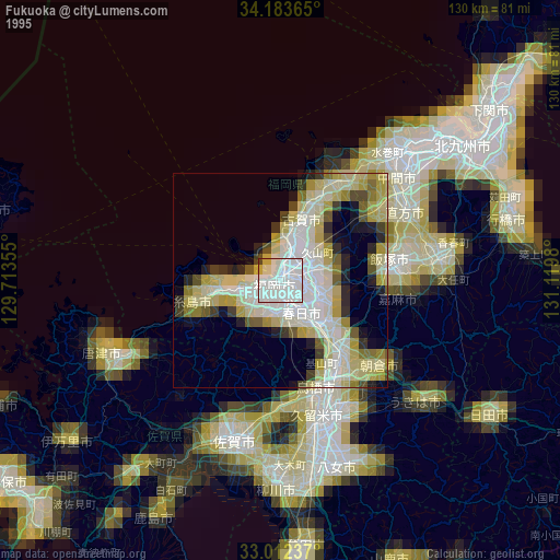
» NASA, Earths city lights 1995
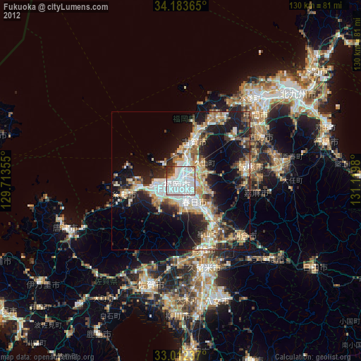
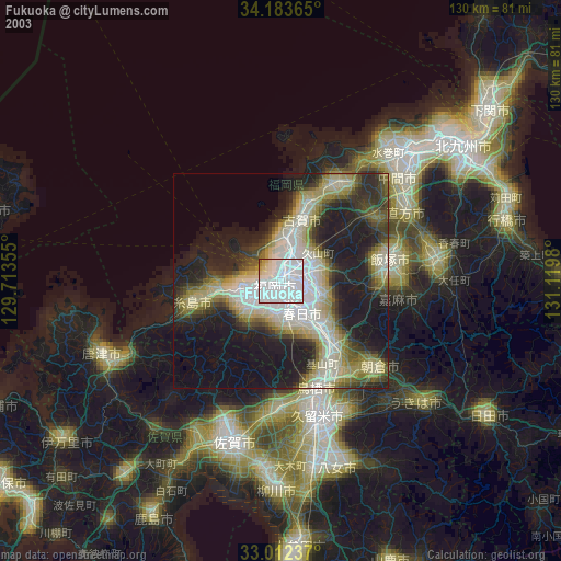
» NASA city lights 2003
» Earth at Night: Flat Maps 2012, 2016