Dazaifu night lights from space
Night Light of Dazaifu (Fukuoka) from space (Japan) Src. Average luminocity for 10x10km area is 57.2198% and for 50x50km: 29.6211%.
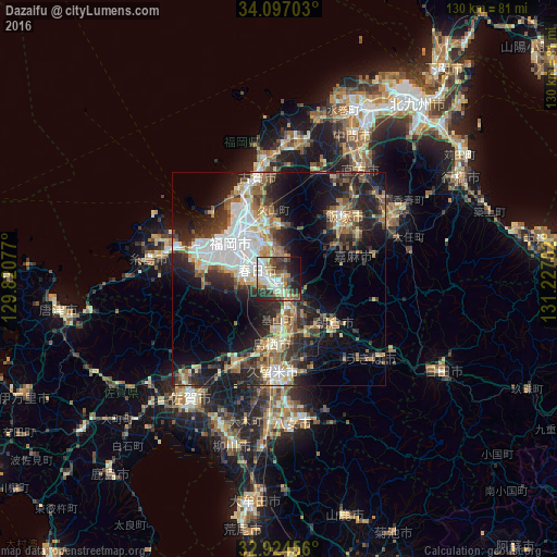
Analysis of Dazaifu night lights 2016
Square area 10x10 km:
 9.89%
9.89%90-99
14.1%80-89
9.16%70-79
3.66%60-69
7.88%50-59
10.81%40-49
6.41%30-39
12.27%20-29
13.19%10-19
11.36%0-9
1.28%Square area 50x50 km:
5.2%90-99
5.35%80-89
3.37%70-79
3.13%60-69
4.11%50-59
4.74%40-49
3.53%30-39
5.3%20-29
9.78%10-19
14.87%0-9
40.62%Clear (daylight) street map image can be seen on geolist.org.
Map coordinates:
34° 5' 49.3" North, 129° 49' 14.8" East
33° 30' 46" North, 130° 31' 26" East
32° 55' 28.4" North, 131° 13' 37.3" East
Some cities around Dazaifu sort by population:
• Fukuoka
13.9 km =8.6 mi,  314°
314°
• Chikushino-shi
2 km =1.2 mi,  202°
202°
• Ōnojō
4.9 km =3 mi,  301°
301°
• Iizuka
20.4 km =12.7 mi,  47°
47°
• Tosu
16.3 km =10.1 mi,  182°
182°
• Amagi
16 km =9.9 mi,  131°
131°
• Umi
6.3 km =3.9 mi,  348°
348°
• Sasaguri
11.7 km =7.3 mi,  12°
12°
7422816 (p: 70,587)
Sources (retrieved 2019-11-25):
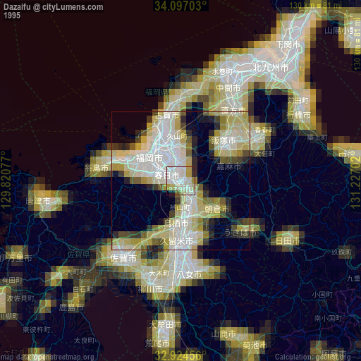
» NASA, Earths city lights 1995
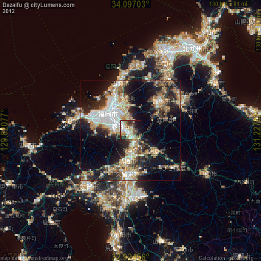
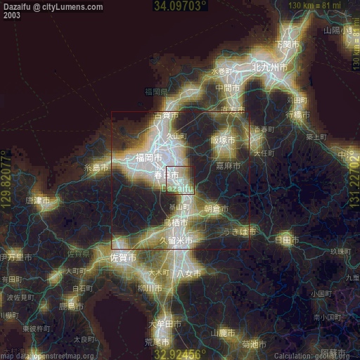
» NASA city lights 2003
» Earth at Night: Flat Maps 2012, 2016