Nishifukuma night lights from space
Night Light of Nishifukuma (Fukuoka) from space (Japan) Src. Average luminocity for 10x10km area is 37.3535% and for 50x50km: 24.2663%.
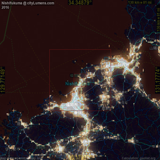
Analysis of Nishifukuma night lights 2016
Square area 10x10 km:
 2.56%
2.56%90-99
5.68%80-89
3.66%70-79
6.04%60-69
7.33%50-59
6.23%40-49
5.13%30-39
8.61%20-29
18.68%10-19
22.53%0-9
13.55%Square area 50x50 km:
4.7%90-99
4.39%80-89
2.44%70-79
3.01%60-69
3.61%50-59
4.23%40-49
2.71%30-39
3.62%20-29
6.63%10-19
12.36%0-9
52.29%Clear (daylight) street map image can be seen on geolist.org.
Map coordinates:
34° 20' 55.6" North, 129° 46' 17.4" East
33° 45' 58.6" North, 130° 28' 28.6" East
33° 10' 47.2" North, 131° 10' 39.9" East
Some cities around Nishifukuma sort by population:
• Fukuoka
19.2 km =11.9 mi,  196°
196°
• Koga
3.7 km =2.3 mi,  191°
191°
• Nōgata
23.1 km =14.4 mi,  97°
97°
• Nakama
22.4 km =13.9 mi,  75°
75°
• Umi
22.3 km =13.9 mi,  171°
171°
• Sasaguri
18.2 km =11.3 mi,  157°
157°
• Shingū
7.1 km =4.4 mi,  214°
214°
• Miyata
17.7 km =11 mi,  111°
111°
1863978 (p: 43,154)
Sources (retrieved 2019-11-25):
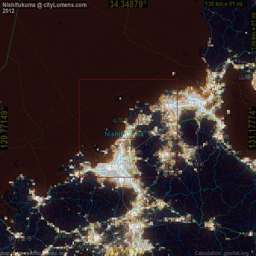
» Earth at Night: Flat Maps 2012, 2016