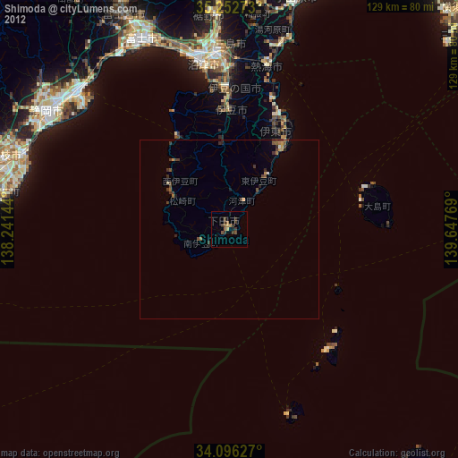
Shimoda night lights from space
Night Light of Shimoda (Shizuoka) from space (Japan) Src. Average luminocity for 10x10km area is 2.3864% and for 50x50km: 0.2738%.
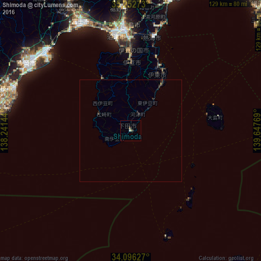
Analysis of Shimoda night lights 2016
Square area 10x10 km:
100  0.35%
0.35%
90-99 0.35%
80-89 0%
70-79 0%
60-69 1.4%
50-59 0%
40-49 0.35%
30-39 0.35%
20-29 1.4%
10-19 0%
0-9 95.8%
0.35%90-99
0.35%80-89
0%70-79
0%60-69
1.4%50-59
0%40-49
0.35%30-39
0.35%20-29
1.4%10-19
0%0-9
95.8%Square area 50x50 km:
100 0.01%
90-99 0.01%
80-89 0%
70-79 0.03%
60-69 0.06%
50-59 0.01%
40-49 0.08%
30-39 0.16%
20-29 0.2%
10-19 0.09%
0-9 99.34%
0.01%90-99
0.01%80-89
0%70-79
0.03%60-69
0.06%50-59
0.01%40-49
0.08%30-39
0.16%20-29
0.2%10-19
0.09%0-9
99.34%Clear (daylight) street map image can be seen on geolist.org.
Map coordinates:
35° 15' 9.8" North, 138° 14' 29.2" East
34° 40' 35.5" North, 138° 56' 40.4" East
34° 5' 46.6" North, 139° 38' 51.7" East
Some cities around Shimoda sort by population:
• Fuji
59.5 km =37 mi,  336°
336°
• Numazu
47.6 km =29.6 mi,  351°
351°
• Yaizu
61 km =37.9 mi,  290°
290°
• Mishima
49 km =30.4 mi,  357°
357°
• Itō
34.7 km =21.6 mi,  21°
21°
• Atami
46.9 km =29.1 mi,  12°
12°
• Yugawara
53.8 km =33.4 mi, 11°
• Hakone
57.5 km =35.7 mi, 7°
1852357 (p: 26,704)
Sources (retrieved 2019-11-25):
» Earth at Night: Flat Maps 2012, 2016