Ōtsuchi night lights from space
Night Light of Ōtsuchi (Iwate) from space (Japan) Src. Average luminocity for 10x10km area is 5.898% and for 50x50km: 1.019%.
Analysis of Ōtsuchi night lights 2016
Square area 10x10 km:
 0.17%
0.17%90-99
0.85%80-89
0.34%70-79
1.36%60-69
0%50-59
1.53%40-49
1.87%30-39
0.85%20-29
2.55%10-19
0%0-9
90.48%Square area 50x50 km:
0.09%90-99
0.17%80-89
0.09%70-79
0.11%60-69
0.06%50-59
0.15%40-49
0.15%30-39
0.26%20-29
0.37%10-19
0.05%0-9
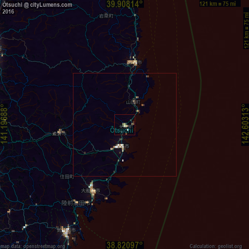
98.49%Clear (daylight) street map image can be seen on geolist.org.
Map coordinates:
39° 54' 29.3" North, 141° 11' 48.8" East
39° 22' 0" North, 141° 54' 0" East
38° 49' 15.5" North, 142° 36' 11.3" East
Some cities around Ōtsuchi sort by population:
• Kitakami
68 km =42.3 mi,  262°
262°
• Hanamaki
67.4 km =41.9 mi,  271°
271°
• Mizusawa
70.9 km =44.1 mi,  248°
248°
• Miyako
31.4 km =19.5 mi,  6°
6°
• Kamaishi
10.3 km =6.4 mi,  195°
195°
• Ōfunato
36.4 km =22.6 mi,  205°
205°
• Tōno
32 km =19.9 mi, 260°
• Yamada
11.9 km =7.4 mi,  21°
21°
2111310 (p: 16,497)
Sources (retrieved 2019-11-25):
» Earth at Night: Flat Maps 2012, 2016