Miyako night lights from space
Night Light of Miyako (Iwate) from space (Japan) Src. Average luminocity for 10x10km area is 10.8149% and for 50x50km: 0.6872%.
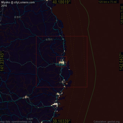
Analysis of Miyako night lights 2016
Square area 10x10 km:
 0.32%
0.32%90-99
0.32%80-89
3.25%70-79
0.65%60-69
3.25%50-59
1.95%40-49
1.3%30-39
1.3%20-29
1.79%10-19
0.81%0-9
85.06%Square area 50x50 km:
0.01%90-99
0.01%80-89
0.13%70-79
0.05%60-69
0.16%50-59
0.16%40-49
0.14%30-39
0.18%20-29
0.21%10-19
0.11%0-9
98.84%Clear (daylight) street map image can be seen on geolist.org.
Map coordinates:
40° 11' 10.3" North, 141° 14' 14.8" East
39° 38' 48.9" North, 141° 56' 26.1" East
39° 6' 12.2" North, 142° 38' 37.3" East
Some cities around Miyako sort by population:
• Morioka
67.9 km =42.2 mi,  274°
274°
• Kitakami
81.5 km =50.6 mi,  240°
240°
• Hanamaki
76.5 km =47.5 mi,  247°
247°
• Kamaishi
41.6 km =25.8 mi,  188°
188°
• Ōfunato
66.8 km =41.5 mi,  196°
196°
• Tōno
50.7 km =31.5 mi,  223°
223°
• Yamada
20.1 km =12.5 mi,  177°
177°
• Ōtsuchi
31.4 km =19.5 mi, 186°
2111884 (p: 51,721)
Sources (retrieved 2019-11-25):
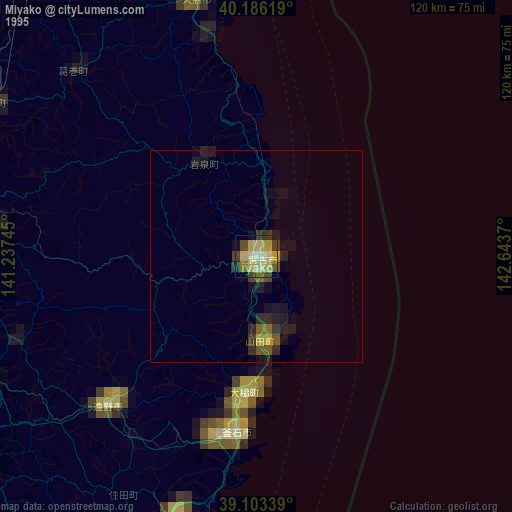
» NASA, Earths city lights 1995
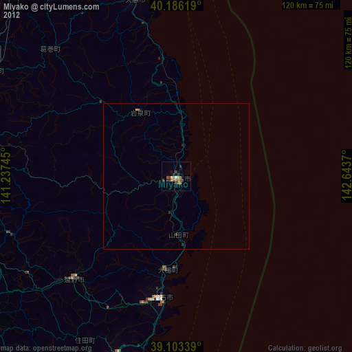
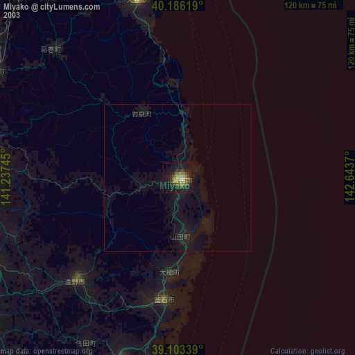
» NASA city lights 2003
» Earth at Night: Flat Maps 2012, 2016