Yamada night lights from space
Night Light of Yamada (Iwate) from space (Japan) Src. Average luminocity for 10x10km area is 3.6752% and for 50x50km: 1.3744%.
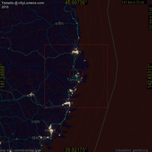
Analysis of Yamada night lights 2016
Square area 10x10 km:
 0%
0%90-99
0%80-89
0%70-79
0.68%60-69
0.68%50-59
1.36%40-49
0.68%30-39
1.7%20-29
2.72%10-19
0.68%0-9
91.5%Square area 50x50 km:
0.1%90-99
0.15%80-89
0.22%70-79
0.14%60-69
0.19%50-59
0.23%40-49
0.18%30-39
0.3%20-29
0.41%10-19
0.08%0-9
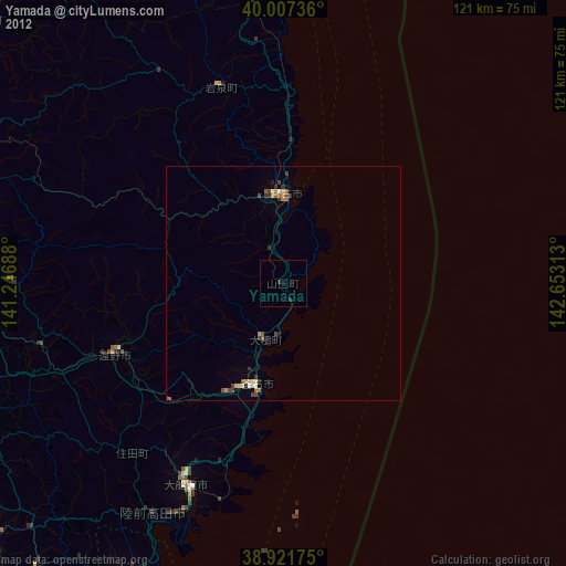
97.99%Clear (daylight) street map image can be seen on geolist.org.
Map coordinates:
40° 0' 26.5" North, 141° 14' 48.8" East
39° 28' 0" North, 141° 57' 0" East
38° 55' 18.3" North, 142° 39' 11.3" East
Some cities around Yamada sort by population:
• Morioka
73.3 km =45.5 mi,  290°
290°
• Kitakami
74.5 km =46.3 mi,  254°
254°
• Hanamaki
72.2 km =44.9 mi,  262°
262°
• Miyako
20.1 km =12.5 mi,  357°
357°
• Kamaishi
22.2 km =13.8 mi,  198°
198°
• Ōfunato
48.3 km =30 mi, 204°
• Tōno
39.5 km =24.5 mi, 245°
• Ōtsuchi
11.9 km =7.4 mi, 201°
2110560 (p: 20,144)
Sources (retrieved 2019-11-25):
» Earth at Night: Flat Maps 2012, 2016