Shimo-furano night lights from space
Night Light of Shimo-furano (Hokkaido) from space (Japan) Src. Average luminocity for 10x10km area is 6.3556% and for 50x50km: 0.7957%.
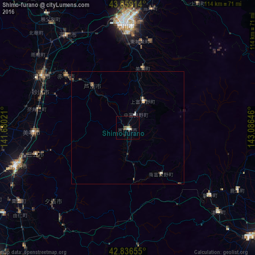
Analysis of Shimo-furano night lights 2016
Square area 10x10 km:
 0.48%
0.48%90-99
1.27%80-89
0.48%70-79
0.63%60-69
0.32%50-59
0.63%40-49
1.9%30-39
2.54%20-29
0.63%10-19
0.63%0-9
90.48%Square area 50x50 km:
0.08%90-99
0.18%80-89
0.03%70-79
0.08%60-69
0.04%50-59
0.2%40-49
0.16%30-39
0.18%20-29
0.18%10-19
0.11%0-9
98.76%Clear (daylight) street map image can be seen on geolist.org.
Map coordinates:
43° 51' 32.9" North, 141° 40' 48.8" East
43° 21' 0" North, 142° 22' 60" East
42° 50' 11.6" North, 143° 5' 11.3" East
Some cities around Shimo-furano sort by population:
• Asahikawa
46.8 km =29.1 mi,  358°
358°
• Takikawa
44.6 km =27.7 mi,  300°
300°
• Bibai
42.5 km =26.4 mi,  266°
266°
• Fukagawa
48.5 km =30.1 mi,  325°
325°
• Sunagawa
41.5 km =25.8 mi,  291°
291°
• Ashibetsu
23.9 km =14.9 mi,  318°
318°
• Akabira
34.8 km =21.6 mi,  310°
310°
• Utashinai
32.7 km =20.3 mi, 304°
2128147 (p: 25,872)
Sources (retrieved 2019-11-25):
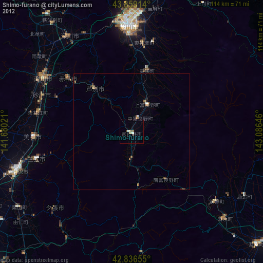
» Earth at Night: Flat Maps 2012, 2016