Asahikawa night lights from space
Night Light of Asahikawa (Hokkaido) from space (Japan) Src. Average luminocity for 10x10km area is 71.0348% and for 50x50km: 5.1227%.
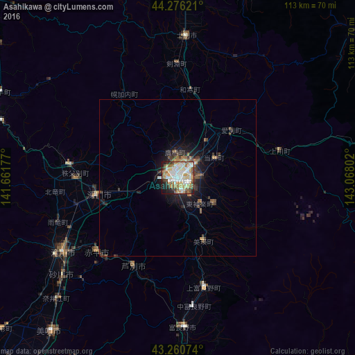
Analysis of Asahikawa night lights 2016
Square area 10x10 km:
 17.88%
90-99
18.94%80-89
12.73%70-79
9.7%60-69
8.94%50-59
8.94%40-49
5.15%30-39
3.18%20-29
8.64%10-19
5.76%0-9
0.15%Square area 50x50 km:
0.77%90-99
0.81%80-89
0.56%70-79
0.57%60-69
0.76%50-59
0.76%40-49
0.78%30-39
0.79%20-29
1.43%10-19
3.15%0-9
89.62%Clear (daylight) street map image can be seen on geolist.org.
Map coordinates:
44° 16' 34.4" North, 141° 39' 42.4" East
43° 46' 14.3" North, 142° 21' 53.6" East
43° 15' 38.7" North, 143° 4' 4.9" East
Some cities around Asahikawa sort by population:
• Takikawa
44.1 km =27.4 mi,  236°
236°
• Fukagawa
27.1 km =16.8 mi,  255°
255°
• Shimo-furano
46.8 km =29.1 mi,  178°
178°
• Sunagawa
48.6 km =30.2 mi,  229°
229°
• Ashibetsu
32.4 km =20.1 mi,  206°
206°
• Akabira
35 km =21.7 mi, 225°
• Kamikawa
33.5 km =20.8 mi,  76°
76°
• Utashinai
37.9 km =23.5 mi,  221°
221°
2130629 (p: 356,612)
Sources (retrieved 2019-11-25):
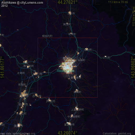
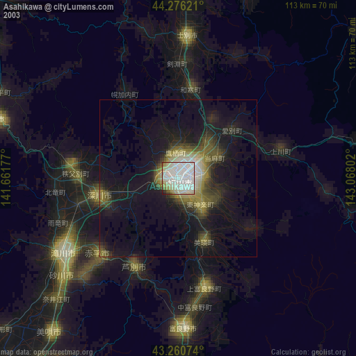
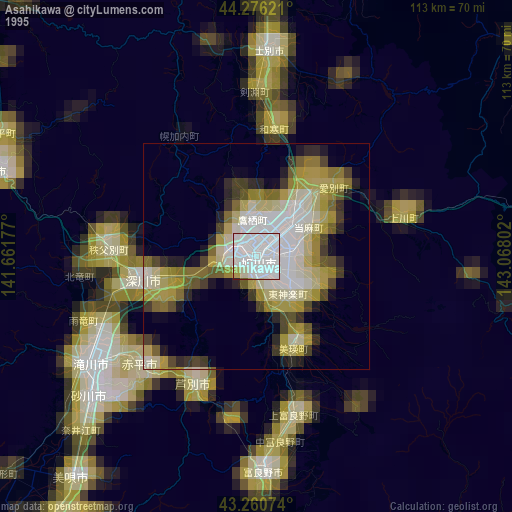
» NASA, Earths city lights 1995
» NASA city lights 2003
» Earth at Night: Flat Maps 2012, 2016