Tokorozawa night lights from space
Night Light of Tokorozawa (Saitama) from space (Japan) Src. Average luminocity for 10x10km area is 88.2885% and for 50x50km: 74.4764%.
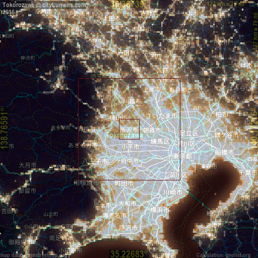
Analysis of Tokorozawa night lights 2016
Square area 10x10 km:
 21.5%
21.5%90-99
30.94%80-89
22.03%70-79
18.71%60-69
6.82%50-59
0%40-49
0%30-39
0%20-29
0%10-19
0%0-9
0%Square area 50x50 km:
34.54%90-99
17%80-89
7.77%70-79
7.05%60-69
8%50-59
4.53%40-49
3.54%30-39
2.94%20-29
2.49%10-19
3.8%0-9
8.34%Clear (daylight) street map image can be seen on geolist.org.
Map coordinates:
36° 22' 2.6" North, 138° 45' 57.3" East
35° 47' 57" North, 139° 28' 8.5" East
35° 13' 36.6" North, 140° 10' 19.8" East
Some cities around Tokorozawa sort by population:
• Nishi-Tokyo-shi
10.3 km =6.4 mi,  142°
142°
• Sayama
7.9 km =4.9 mi,  319°
319°
• Higashimurayama
5 km =3.1 mi,  180°
180°
• Kokubunji
10.8 km =6.7 mi, 176°
• Tanashichō
10 km =6.2 mi, 141°
• Shiki
11 km =6.8 mi,  69°
69°
• Kamifukuoka
9.1 km =5.7 mi,  26°
26°
• Ōi
7.4 km =4.6 mi,  38°
38°
1850181 (p: 339,435)
Sources (retrieved 2019-11-25):
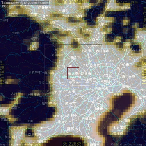
» NASA, Earths city lights 1995
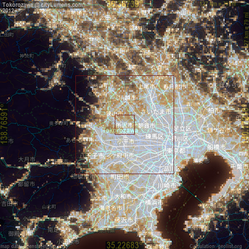
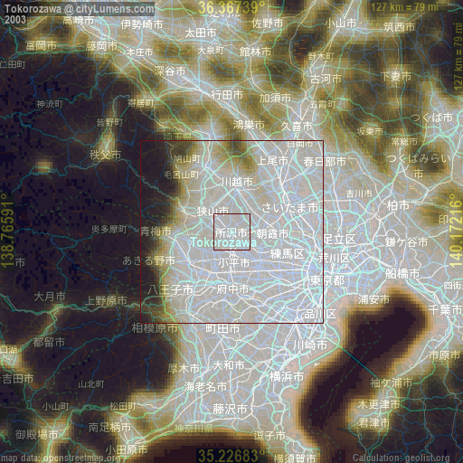
» NASA city lights 2003
» Earth at Night: Flat Maps 2012, 2016