Morohongō night lights from space
Night Light of Morohongō (Saitama) from space (Japan) Src. Average luminocity for 10x10km area is 30.5476% and for 50x50km: 41.5598%.
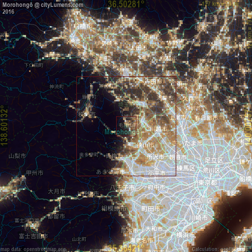
Analysis of Morohongō night lights 2016
Square area 10x10 km:
 0.55%
0.55%90-99
1.65%80-89
1.47%70-79
3.48%60-69
6.96%50-59
8.79%40-49
14.1%30-39
7.69%20-29
9.71%10-19
20.15%0-9
25.46%Square area 50x50 km:
7.32%90-99
9.09%80-89
5.11%70-79
5.9%60-69
7.83%50-59
6.51%40-49
6.88%30-39
6.58%20-29
6.04%10-19
5.5%0-9
33.23%Clear (daylight) street map image can be seen on geolist.org.
Map coordinates:
36° 30' 10.1" North, 138° 36' 4.8" East
35° 56' 8" North, 139° 18' 16" East
35° 21' 51.2" North, 140° 0' 27.3" East
Some cities around Morohongō sort by population:
• Tokorozawa
21.2 km =13.2 mi,  135°
135°
• Kawagoe
16.6 km =10.3 mi,  100°
100°
• Sayama
13.4 km =8.3 mi,  133°
133°
• Ōme
17.7 km =11 mi,  198°
198°
• Sakado
8 km =5 mi,  72°
72°
• Hannō
9.4 km =5.8 mi,  172°
172°
• Kamifukuoka
20.1 km =12.5 mi,  110°
110°
• Ogawa
13.6 km =8.5 mi,  345°
345°
1856560 (p: 39,693)
Sources (retrieved 2019-11-25):
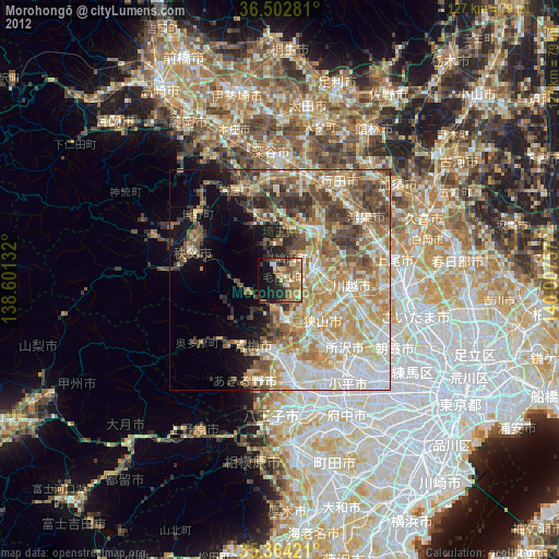
» Earth at Night: Flat Maps 2012, 2016