Sayama night lights from space
Night Light of Sayama (Saitama) from space (Japan) Src. Average luminocity for 10x10km area is 80.9668% and for 50x50km: 61.7188%.
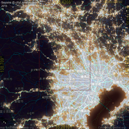
Analysis of Sayama night lights 2016
Square area 10x10 km:
 14.34%
90-99
23.08%80-89
11.19%70-79
22.38%60-69
25.17%50-59
3.67%40-49
0.17%30-39
0%20-29
0%10-19
0%0-9
0%Square area 50x50 km:
23.77%90-99
14.26%80-89
6.9%70-79
6.71%60-69
8.13%50-59
5.31%40-49
4.67%30-39
3.83%20-29
3.23%10-19
4.27%0-9
18.91%Clear (daylight) street map image can be seen on geolist.org.
Map coordinates:
36° 25' 14.9" North, 138° 42' 32.4" East
35° 51' 10.6" North, 139° 24' 43.6" East
35° 16' 51.6" North, 140° 6' 54.9" East
Some cities around Sayama sort by population:
• Tokorozawa
7.9 km =4.9 mi,  139°
139°
• Kawagoe
9 km =5.6 mi,  46°
46°
• Higashimurayama
12.1 km =7.5 mi,  155°
155°
• Sakado
11.8 km =7.3 mi,  349°
349°
• Hannō
8.5 km =5.3 mi,  269°
269°
• Kamifukuoka
9.4 km =5.8 mi,  76°
76°
• Ōi
9.7 km =6 mi,  91°
91°
• Morohongō
13.4 km =8.3 mi,  313°
313°
1907146 (p: 160,843)
Sources (retrieved 2019-11-25):
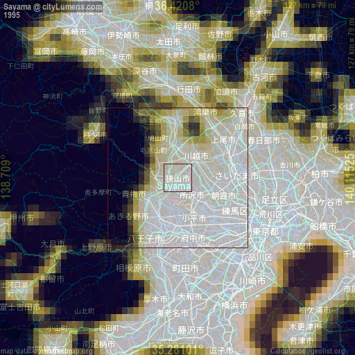
» NASA, Earths city lights 1995
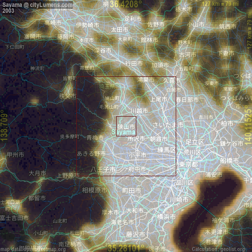
» NASA city lights 2003
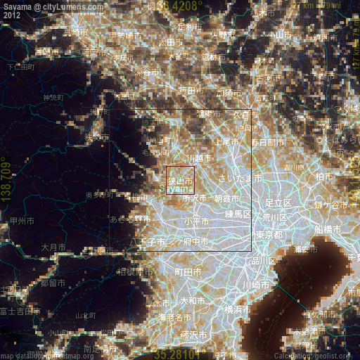
» Earth at Night: Flat Maps 2012, 2016