Hino night lights from space
Night Light of Hino (Tokyo) from space (Japan) Src. Average luminocity for 10x10km area is 96.8531% and for 50x50km: 67.7641%.
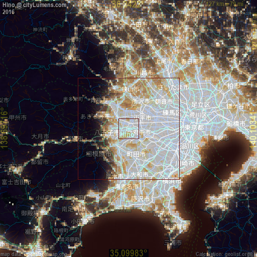
Analysis of Hino night lights 2016
Square area 10x10 km:
 49.48%
90-99
36.19%80-89
13.11%70-79
1.22%60-69
0%50-59
0%40-49
0%30-39
0%20-29
0%10-19
0%0-9
0%Square area 50x50 km:
32.5%90-99
18.9%80-89
7.03%70-79
5.1%60-69
4.44%50-59
2.25%40-49
2.11%30-39
2.19%20-29
2.34%10-19
3.47%0-9
19.68%Clear (daylight) street map image can be seen on geolist.org.
Map coordinates:
36° 14' 31.9" North, 138° 41' 49.8" East
35° 40' 23" North, 139° 24' 1" East
35° 5' 59.4" North, 140° 6' 12.3" East
Some cities around Hino sort by population:
• Hachiōji
7.2 km =4.5 mi,  254°
254°
• Chōfu
13.5 km =8.4 mi,  96°
96°
• Nishi-Tokyo-shi
13.7 km =8.5 mi,  65°
65°
• Kamirenjaku
14.2 km =8.8 mi,  80°
80°
• Higashimurayama
11 km =6.8 mi,  34°
34°
• Kokubunji
7.5 km =4.7 mi,  64°
64°
• Tanashichō
13.9 km =8.6 mi, 63°
• Fussa
9.9 km =6.2 mi,  315°
315°
1862599 (p: 171,777)
Sources (retrieved 2019-11-25):
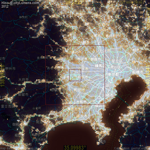
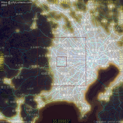
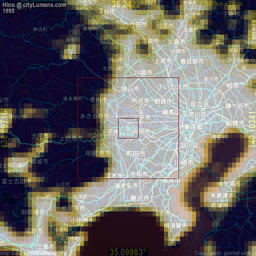
» NASA, Earths city lights 1995
» NASA city lights 2003
» Earth at Night: Flat Maps 2012, 2016