Nishishinminato night lights from space
Night Light of Nishishinminato (Toyama) from space (Japan) Src. Average luminocity for 10x10km area is 45.979% and for 50x50km: 13.9949%.
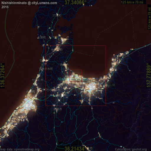
Analysis of Nishishinminato night lights 2016
Square area 10x10 km:
 3.5%
3.5%90-99
8.92%80-89
6.12%70-79
7.17%60-69
6.64%50-59
10.49%40-49
11.89%30-39
6.29%20-29
9.09%10-19
21.85%0-9
8.04%Square area 50x50 km:
0.81%90-99
1.63%80-89
1.24%70-79
1.69%60-69
2.04%50-59
3.05%40-49
3.99%30-39
3.77%20-29
4.23%10-19
8.88%0-9
68.67%Clear (daylight) street map image can be seen on geolist.org.
Map coordinates:
37° 20' 26.4" North, 136° 22' 21.5" East
36° 46' 46.5" North, 137° 4' 32.7" East
36° 12' 51.6" North, 137° 46' 44" East
Some cities around Nishishinminato sort by population:
• Toyama
15.4 km =9.6 mi,  125°
125°
• Takaoka
6.2 km =3.9 mi,  238°
238°
• Nanto-shi
27.6 km =17.1 mi,  212°
212°
• Himimachi
11.5 km =7.1 mi,  317°
317°
• Namerikawa
25.6 km =15.9 mi,  94°
94°
• Hakui
28.5 km =17.7 mi,  293°
293°
• Kamiichi
27.4 km =17 mi,  108°
108°
• Yatsuomachi-higashikumisaka
24.2 km =15 mi,  167°
167°
1852385 (p: 35,994)
Sources (retrieved 2019-11-25):
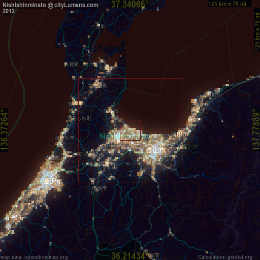
» Earth at Night: Flat Maps 2012, 2016