Kamiichi night lights from space
Night Light of Kamiichi (Toyama) from space (Japan) Src. Average luminocity for 10x10km area is 14.4487% and for 50x50km: 10.2561%.
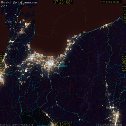
Analysis of Kamiichi night lights 2016
Square area 10x10 km:
 0%
0%90-99
0%80-89
1.47%70-79
1.47%60-69
1.1%50-59
2.01%40-49
2.75%30-39
6.59%20-29
9.52%10-19
19.78%0-9
55.31%Square area 50x50 km:
0.62%90-99
1.22%80-89
0.85%70-79
1.19%60-69
1.37%50-59
2.38%40-49
2.9%30-39
3.18%20-29
2.71%10-19
7.24%0-9
76.35%Clear (daylight) street map image can be seen on geolist.org.
Map coordinates:
37° 15' 42" North, 136° 39' 48.8" East
36° 42' 0" North, 137° 22' 0" East
36° 8' 3.1" North, 138° 4' 11.3" East
Some cities around Kamiichi sort by population:
• Toyama
13.4 km =8.3 mi,  270°
270°
• Takaoka
31.7 km =19.7 mi,  280°
280°
• Uozu
11.5 km =7.1 mi,  14°
14°
• Kurobe-shi
23.6 km =14.7 mi,  18°
18°
• Nishishinminato
27.4 km =17 mi,  288°
288°
• Namerikawa
6.6 km =4.1 mi,  356°
356°
• Nyūzen
29 km =18 mi, 24°
• Yatsuomachi-higashikumisaka
25.6 km =15.9 mi,  234°
234°
1860563 (p: 23,004)
Sources (retrieved 2019-11-25):
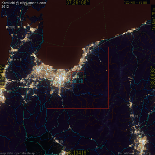
» Earth at Night: Flat Maps 2012, 2016