Toyama night lights from space
Night Light of Toyama from space (Japan) Src. Average luminocity for 10x10km area is 71.1612% and for 50x50km: 14.6013%.
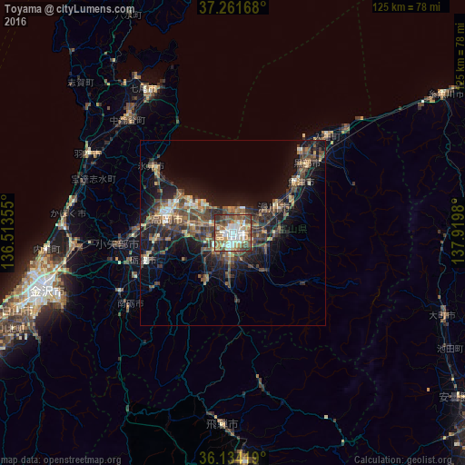
Analysis of Toyama night lights 2016
Square area 10x10 km:
 13.55%
90-99
18.5%80-89
8.97%70-79
10.44%60-69
8.42%50-59
18.5%40-49
13.92%30-39
5.13%20-29
2.56%10-19
0%0-9
0%Square area 50x50 km:
0.82%90-99
1.74%80-89
1.28%70-79
1.73%60-69
2.16%50-59
3.09%40-49
4.22%30-39
4.11%20-29
4.35%10-19
10.57%0-9
65.92%Clear (daylight) street map image can be seen on geolist.org.
Map coordinates:
37° 15' 42" North, 136° 30' 48.8" East
36° 42' 0" North, 137° 13' 0" East
36° 8' 3.1" North, 137° 55' 11.3" East
Some cities around Toyama sort by population:
• Takaoka
18.7 km =11.6 mi,  287°
287°
• Himimachi
26.7 km =16.6 mi,  310°
310°
• Uozu
19.8 km =12.3 mi,  55°
55°
• Kurobe-shi
30.5 km =19 mi,  42°
42°
• Nishishinminato
15.4 km =9.6 mi, 305°
• Namerikawa
14.6 km =9.1 mi, 62°
• Kamiichi
13.4 km =8.3 mi,  90°
90°
• Yatsuomachi-higashikumisaka
16.6 km =10.3 mi,  206°
206°
1849876 (p: 325,532)
Sources (retrieved 2019-11-25):
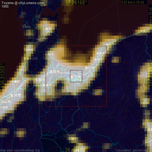
» NASA, Earths city lights 1995
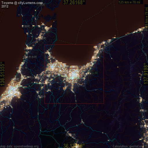
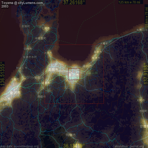
» NASA city lights 2003
» Earth at Night: Flat Maps 2012, 2016