Takaoka night lights from space
Night Light of Takaoka (Toyama) from space (Japan) Src. Average luminocity for 10x10km area is 50.9266% and for 50x50km: 13.4352%.
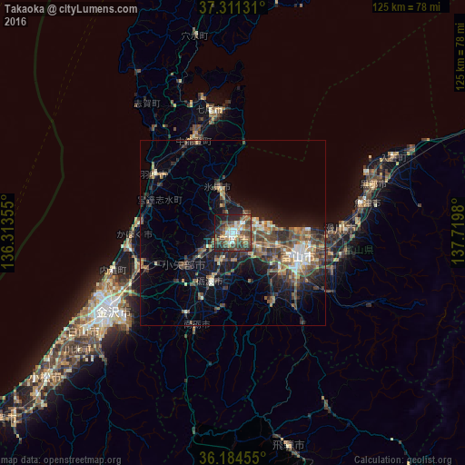
Analysis of Takaoka night lights 2016
Square area 10x10 km:
 5.24%
5.24%90-99
6.99%80-89
5.24%70-79
6.82%60-69
10.31%50-59
9.09%40-49
19.58%30-39
10.31%20-29
17.13%10-19
8.92%0-9
0.35%Square area 50x50 km:
0.81%90-99
1.67%80-89
1.16%70-79
1.64%60-69
1.96%50-59
2.96%40-49
3.66%30-39
3.35%20-29
4%10-19
8.03%0-9
70.76%Clear (daylight) street map image can be seen on geolist.org.
Map coordinates:
37° 18' 40.7" North, 136° 18' 48.8" East
36° 45' 0" North, 137° 1' 0" East
36° 11' 4.4" North, 137° 43' 11.3" East
Some cities around Takaoka sort by population:
• Toyama
18.7 km =11.6 mi,  107°
107°
• Nanto-shi
22.2 km =13.8 mi,  204°
204°
• Himimachi
12.1 km =7.5 mi,  347°
347°
• Tsubata
26.2 km =16.3 mi,  250°
250°
• Nishishinminato
6.2 km =3.9 mi,  58°
58°
• Hakui
25.5 km =15.8 mi,  305°
305°
• Yatsuomachi-higashikumisaka
22.9 km =14.2 mi,  152°
152°
• Fukumitsu
25.1 km =15.6 mi,  211°
211°
1851032 (p: 170,077)
Sources (retrieved 2019-11-25):
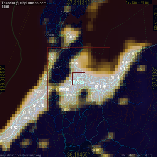
» NASA, Earths city lights 1995
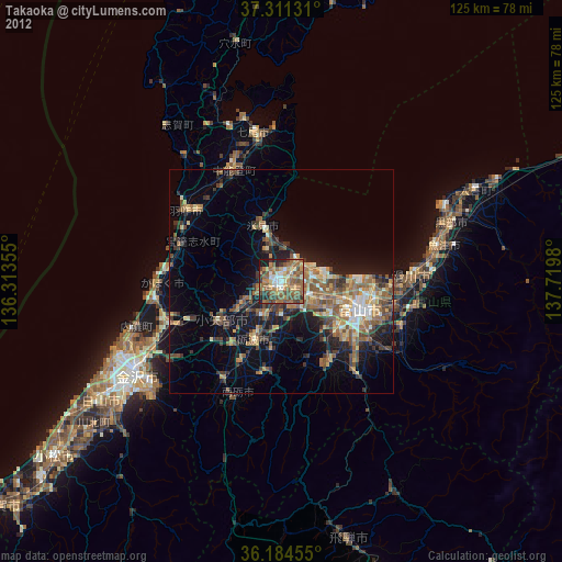
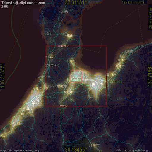
» NASA city lights 2003
» Earth at Night: Flat Maps 2012, 2016