Nanto-shi night lights from space
Night Light of Nanto-shi (Toyama) from space (Japan) Src. Average luminocity for 10x10km area is 5.9615% and for 50x50km: 12.8858%.
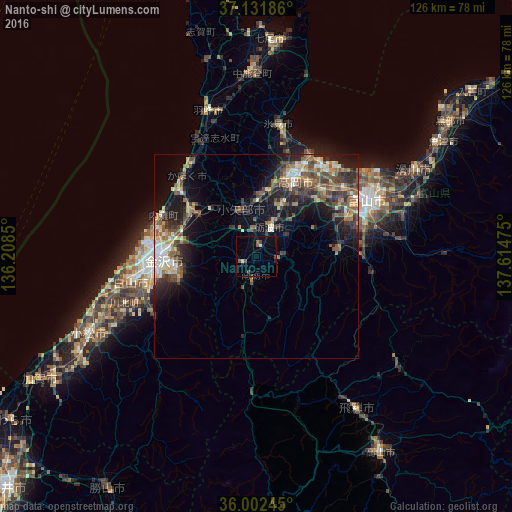
Analysis of Nanto-shi night lights 2016
Square area 10x10 km:
 0%
0%90-99
0.55%80-89
0.92%70-79
0%60-69
0%50-59
2.75%40-49
2.01%30-39
0.37%20-29
1.1%10-19
0%0-9
92.31%Square area 50x50 km:
0.91%90-99
1.74%80-89
1.35%70-79
1.65%60-69
1.95%50-59
2.52%40-49
3.37%30-39
2.63%20-29
4.06%10-19
8.02%0-9
71.8%Clear (daylight) street map image can be seen on geolist.org.
Map coordinates:
37° 7' 54.7" North, 136° 12' 30.6" East
36° 34' 9.2" North, 136° 54' 41.8" East
36° 0' 8.8" North, 137° 36' 53.1" East
Some cities around Nanto-shi sort by population:
• Kanazawa
26.6 km =16.5 mi,  277°
277°
• Takaoka
22.2 km =13.8 mi,  24°
24°
• Nonoichi
26.6 km =16.5 mi,  261°
261°
• Tsubata
19 km =11.8 mi,  306°
306°
• Nishishinminato
27.6 km =17.1 mi,  32°
32°
• Yatsuomachi-higashikumisaka
19.8 km =12.3 mi,  90°
90°
• Tsurugi-asahimachi
28.2 km =17.5 mi,  241°
241°
• Fukumitsu
4 km =2.5 mi,  250°
250°
6694821 (p: 55,315)
Sources (retrieved 2019-11-25):
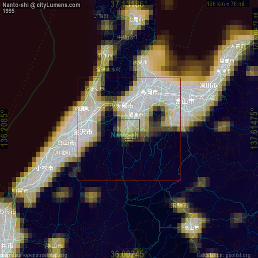
» NASA, Earths city lights 1995
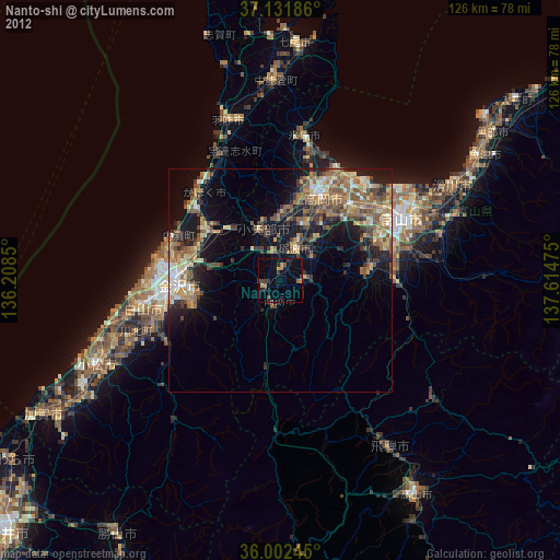
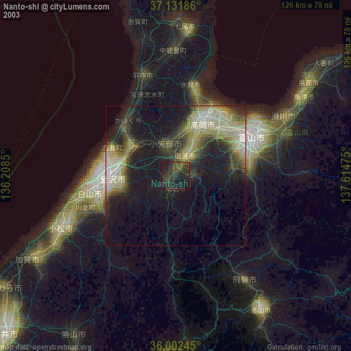
» NASA city lights 2003
» Earth at Night: Flat Maps 2012, 2016