Nishi-Tokyo-shi night lights from space
Night Light of Nishi-Tokyo-shi (Tokyo) from space (Japan) Src. Average luminocity for 10x10km area is 99.3374% and for 50x50km: 87.7029%.
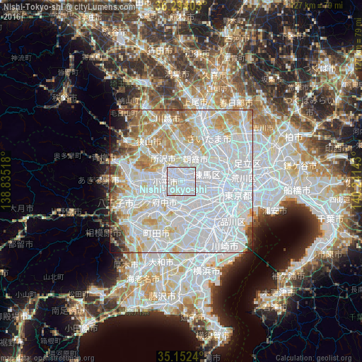
Analysis of Nishi-Tokyo-shi night lights 2016
Square area 10x10 km:
 77.97%
90-99
20.63%80-89
1.4%70-79
0%60-69
0%50-59
0%40-49
0%30-39
0%20-29
0%10-19
0%0-9
0%Square area 50x50 km:
48.2%90-99
20.65%80-89
7.64%70-79
6.7%60-69
6.41%50-59
3.19%40-49
2.08%30-39
1.73%20-29
1.37%10-19
1.46%0-9
0.57%Clear (daylight) street map image can be seen on geolist.org.
Map coordinates:
36° 17' 38.5" North, 138° 50' 6.6" East
35° 43' 30.9" North, 139° 32' 17.9" East
35° 9' 8.6" North, 140° 14' 29.1" East
Some cities around Nishi-Tokyo-shi sort by population:
• Tokorozawa
10.3 km =6.4 mi,  322°
322°
• Chōfu
7.4 km =4.6 mi,  172°
172°
• Kamirenjaku
3.8 km =2.4 mi,  156°
156°
• Higashimurayama
7.1 km =4.4 mi,  297°
297°
• Musashino
2.9 km =1.8 mi,  138°
138°
• Asaka
10.5 km =6.5 mi,  33°
33°
• Kokubunji
6.2 km =3.9 mi,  245°
245°
• Tanashichō
0.4 km =0.2 mi,  358°
358°
1850692 (p: 195,164)
Sources (retrieved 2019-11-25):
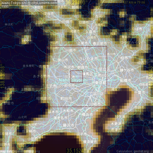
» NASA, Earths city lights 1995
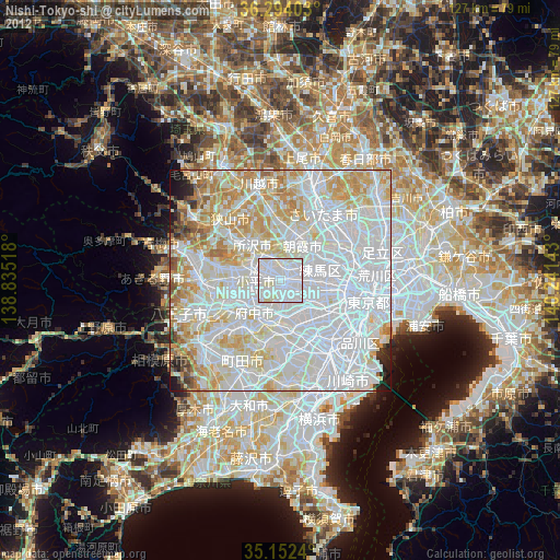
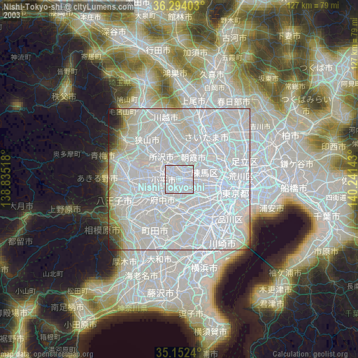
» NASA city lights 2003
» Earth at Night: Flat Maps 2012, 2016