Youkaichi night lights from space
Night Light of Youkaichi (Shiga) from space (Japan) Src. Average luminocity for 10x10km area is 37% and for 50x50km: 17.3674%.
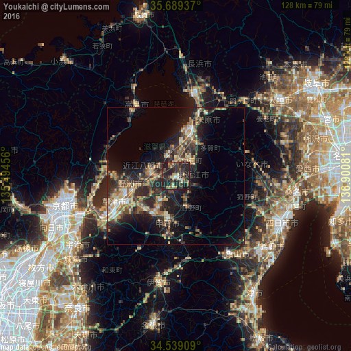
Analysis of Youkaichi night lights 2016
Square area 10x10 km:
 1.57%
1.57%90-99
2.1%80-89
7.34%70-79
3.5%60-69
3.15%50-59
5.59%40-49
8.74%30-39
12.59%20-29
36.19%10-19
19.23%0-9
0%Square area 50x50 km:
0.98%90-99
1.68%80-89
2.95%70-79
2.35%60-69
2.32%50-59
2.84%40-49
3.28%30-39
4.24%20-29
8.29%10-19
11.85%0-9
59.2%Clear (daylight) street map image can be seen on geolist.org.
Map coordinates:
35° 41' 21.7" North, 135° 29' 40.4" East
35° 6' 58.5" North, 136° 11' 51.6" East
34° 32' 20.7" North, 136° 54' 2.9" East
Some cities around Youkaichi sort by population:
• Kusatsu
23.8 km =14.8 mi,  242°
242°
• Hikone
15.6 km =9.7 mi,  17°
17°
• Ōmihachiman
9.2 km =5.7 mi,  278°
278°
• Moriyama
20.3 km =12.6 mi,  254°
254°
• Nagahama
30.3 km =18.8 mi,  11°
11°
• Minakuchichō-matoba
16.9 km =10.5 mi,  189°
189°
• Kitahama
26.2 km =16.3 mi, 282°
• Hino
13.8 km =8.6 mi,  159°
159°
1848382 (p: 45,338)
Sources (retrieved 2019-11-25):
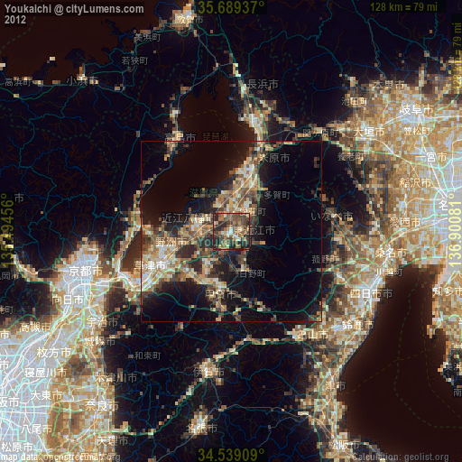
» Earth at Night: Flat Maps 2012, 2016