Kawagoe night lights from space
Night Light of Kawagoe (Saitama) from space (Japan) Src. Average luminocity for 10x10km area is 76.6392% and for 50x50km: 68.7328%.
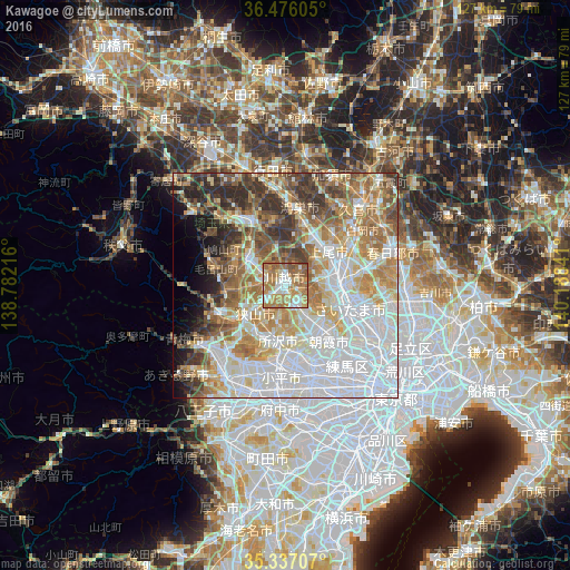
Analysis of Kawagoe night lights 2016
Square area 10x10 km:
 13.55%
90-99
16.67%80-89
10.62%70-79
15.38%60-69
28.39%50-59
12.27%40-49
3.11%30-39
0%20-29
0%10-19
0%0-9
0%Square area 50x50 km:
23.04%90-99
15.3%80-89
7.51%70-79
8.66%60-69
11.21%50-59
7.26%40-49
6.6%30-39
6.07%20-29
4.81%10-19
3.86%0-9
5.68%Clear (daylight) street map image can be seen on geolist.org.
Map coordinates:
36° 28' 33.8" North, 138° 46' 55.8" East
35° 54' 31" North, 139° 29' 7" East
35° 20' 13.5" North, 140° 11' 18.3" East
Some cities around Kawagoe sort by population:
• Tokorozawa
12.3 km =7.6 mi,  186°
186°
• Ageoshimo
13.5 km =8.4 mi,  58°
58°
• Sayama
9 km =5.6 mi,  226°
226°
• Sakado
10.2 km =6.3 mi,  301°
301°
• Okegawa
12 km =7.5 mi,  32°
32°
• Shiki
12.2 km =7.6 mi,  133°
133°
• Kamifukuoka
4.7 km =2.9 mi,  147°
147°
• Ōi
7.1 km =4.4 mi, 154°
1859740 (p: 337,931)
Sources (retrieved 2019-11-25):
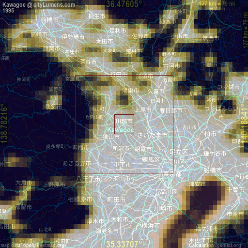
» NASA, Earths city lights 1995
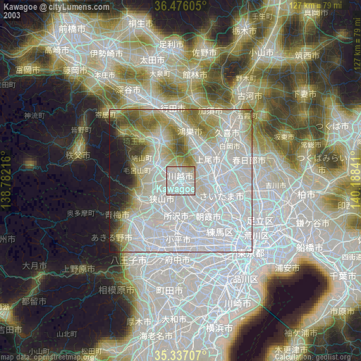
» NASA city lights 2003
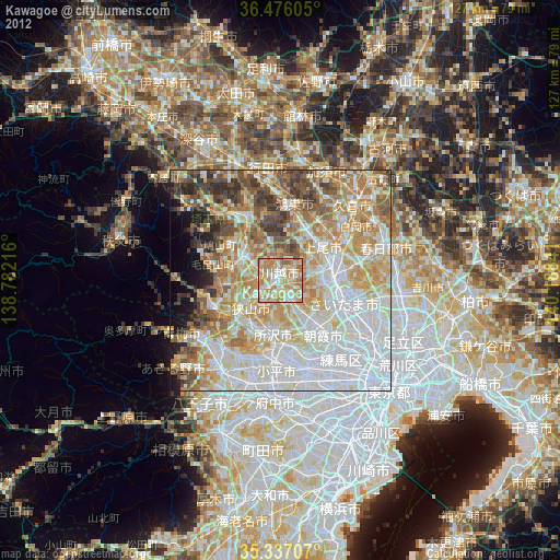
» Earth at Night: Flat Maps 2012, 2016