Miyanoura night lights from space
Night Light of Miyanoura (Kagoshima) from space (Japan) Src. Average luminocity for 10x10km area is 0.2967% and for 50x50km: 0.012%.
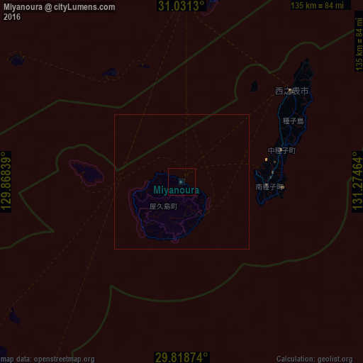
Analysis of Miyanoura night lights 2016
Square area 10x10 km:
 0%
0%90-99
0%80-89
0%70-79
0%60-69
0%50-59
0%40-49
0%30-39
0.73%20-29
0%10-19
0%0-9
99.27%Square area 50x50 km:
0%90-99
0%80-89
0%70-79
0%60-69
0%50-59
0%40-49
0%30-39
0.03%20-29
0%10-19
0%0-9
99.97%Clear (daylight) street map image can be seen on geolist.org.
Map coordinates:
31° 1' 52.7" North, 129° 52' 6.2" East
30° 25' 36.8" North, 130° 34' 17.4" East
29° 49' 7.5" North, 131° 16' 28.7" East
Some cities around Miyanoura sort by population:
• Kagoshima
126.7 km =78.7 mi,  359°
359°
• Kanoya
109.6 km =68.1 mi,  14°
14°
• Ibusuki
90 km =55.9 mi,  4°
4°
• Makurazaki
96.5 km =60 mi,  345°
345°
• Kaseda-shirakame
112.7 km =70 mi, 347°
• Tarumizu
118.1 km =73.4 mi, 5°
• Shibushi
127.1 km =79 mi,  23°
23°
• Nishinoomote
53.3 km =33.1 mi,  50°
50°
1856741 (p: 6,544)
Sources (retrieved 2019-11-25):
» Earth at Night: Flat Maps 2012, 2016