Kumagaya night lights from space
Night Light of Kumagaya (Saitama) from space (Japan) Src. Average luminocity for 10x10km area is 57.9066% and for 50x50km: 49.5107%.
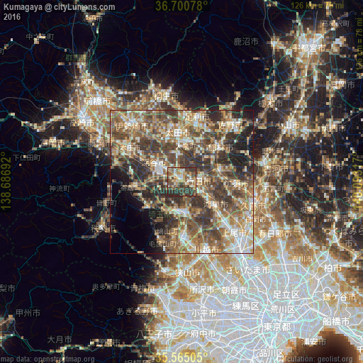
Analysis of Kumagaya night lights 2016
Square area 10x10 km:
 3.66%
3.66%90-99
10.81%80-89
9.71%70-79
10.44%60-69
7.14%50-59
15.38%40-49
13.19%30-39
19.23%20-29
10.44%10-19
0%0-9
0%Square area 50x50 km:
4.71%90-99
8.82%80-89
6.21%70-79
7.23%60-69
10.11%50-59
10.97%40-49
12.36%30-39
11.82%20-29
10.11%10-19
6.44%0-9
11.23%Clear (daylight) street map image can be seen on geolist.org.
Map coordinates:
36° 42' 2.8" North, 138° 41' 12.9" East
36° 8' 5.9" North, 139° 23' 24.1" East
35° 33' 54.2" North, 140° 5' 35.4" East
Some cities around Kumagaya sort by population:
• Fukayachō
12 km =7.5 mi,  307°
307°
• Kōnosu
13.6 km =8.5 mi,  122°
122°
• Gyōda
6.3 km =3.9 mi,  84°
84°
• Hanyū
13.3 km =8.3 mi,  74°
74°
• Yorii
17.7 km =11 mi,  263°
263°
• Ogawa
14.4 km =8.9 mi,  230°
230°
• Fukiage-fujimi
6.6 km =4.1 mi,  125°
125°
• Menuma
9.8 km =6.1 mi,  355°
355°
1858428 (p: 155,813)
Sources (retrieved 2019-11-25):
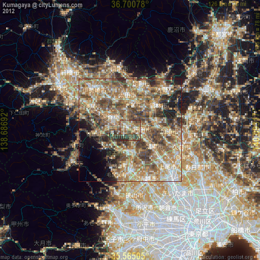
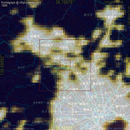
» NASA, Earths city lights 1995
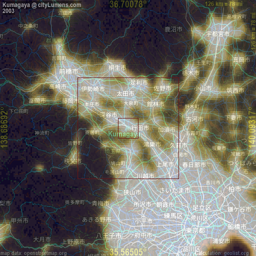
» NASA city lights 2003
» Earth at Night: Flat Maps 2012, 2016