Yorii night lights from space
Night Light of Yorii (Saitama) from space (Japan) Src. Average luminocity for 10x10km area is 27.5073% and for 50x50km: 35.2327%.
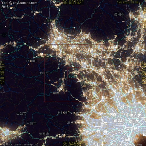
Analysis of Yorii night lights 2016
Square area 10x10 km:
 0.18%
0.18%90-99
3.48%80-89
1.1%70-79
3.48%60-69
4.76%50-59
5.13%40-49
6.96%30-39
8.79%20-29
15.75%10-19
26.56%0-9
23.81%Square area 50x50 km:
2.55%90-99
5.98%80-89
4.39%70-79
5.06%60-69
7.23%50-59
8.24%40-49
8.54%30-39
8.67%20-29
8.04%10-19
6.78%0-9
34.53%Clear (daylight) street map image can be seen on geolist.org.
Map coordinates:
36° 40' 53.8" North, 138° 29' 28.2" East
36° 6' 56.4" North, 139° 11' 39.4" East
35° 32' 44.2" North, 139° 53' 50.7" East
Some cities around Yorii sort by population:
• Kumagaya
17.7 km =11 mi,  83°
83°
• Fukayachō
12.3 km =7.6 mi,  40°
40°
• Fujioka
18.2 km =11.3 mi,  322°
322°
• Honjō
13.6 km =8.5 mi,  358°
358°
• Chichibu
17.5 km =10.9 mi,  217°
217°
• Ogawa
9.5 km =5.9 mi,  136°
136°
• Sakai-nakajima
17.5 km =10.9 mi,  16°
16°
• Kodamachō-kodamaminami
9.5 km =5.9 mi, 323°
1848243 (p: 38,717)
Sources (retrieved 2019-11-25):
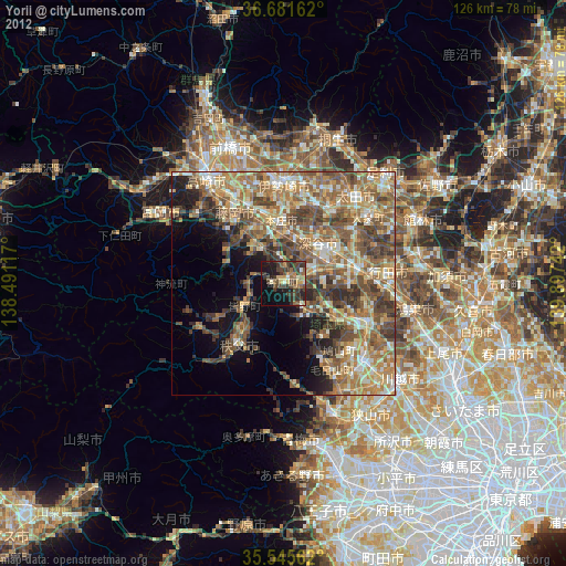
» Earth at Night: Flat Maps 2012, 2016