Katsuura night lights from space
Night Light of Katsuura (Chiba) from space (Japan) Src. Average luminocity for 10x10km area is 4.2168% and for 50x50km: 1.0059%.
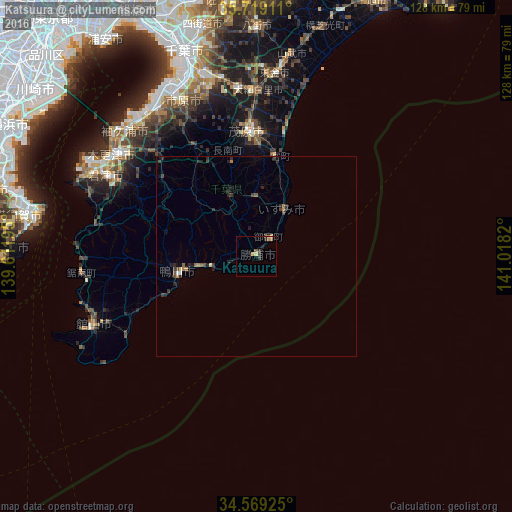
Analysis of Katsuura night lights 2016
Square area 10x10 km:
 0%
0%90-99
0%80-89
1.22%70-79
0.35%60-69
0.87%50-59
1.4%40-49
0.35%30-39
2.1%20-29
1.05%10-19
0.7%0-9
91.96%Square area 50x50 km:
0.03%90-99
0.04%80-89
0.1%70-79
0.06%60-69
0.22%50-59
0.17%40-49
0.17%30-39
0.35%20-29
0.62%10-19
0.32%0-9
97.93%Clear (daylight) street map image can be seen on geolist.org.
Map coordinates:
35° 43' 8.8" North, 139° 36' 43" East
35° 8' 46.4" North, 140° 18' 54.3" East
34° 34' 9.3" North, 141° 1' 5.5" East
Some cities around Katsuura sort by population:
• Ichihara
46.2 km =28.7 mi,  332°
332°
• Kisarazu
43.6 km =27.1 mi,  307°
307°
• Mobara
31.1 km =19.3 mi,  356°
356°
• Tōgane
45.1 km =28 mi,  5°
5°
• Ōami
41.2 km =25.6 mi,  0°
0°
• Tateyama
44.6 km =27.7 mi,  246°
246°
• Kamogawa
20.3 km =12.6 mi, 254°
• Ōhara
13.3 km =8.3 mi,  32°
32°
2112309 (p: 22,307)
Sources (retrieved 2019-11-25):
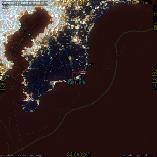
» Earth at Night: Flat Maps 2012, 2016