Tateyama night lights from space
Night Light of Tateyama (Chiba) from space (Japan) Src. Average luminocity for 10x10km area is 12.6282% and for 50x50km: 1.8772%.
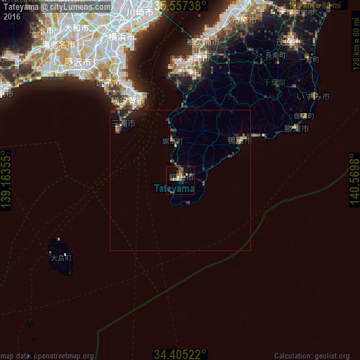
Analysis of Tateyama night lights 2016
Square area 10x10 km:
 0.37%
0.37%90-99
1.1%80-89
0.18%70-79
2.01%60-69
2.38%50-59
4.58%40-49
2.56%30-39
2.2%20-29
4.4%10-19
0.73%0-9
79.49%Square area 50x50 km:
0.04%90-99
0.13%80-89
0.08%70-79
0.19%60-69
0.24%50-59
0.4%40-49
0.47%30-39
0.54%20-29
0.89%10-19
1.22%0-9
95.8%Clear (daylight) street map image can be seen on geolist.org.
Map coordinates:
35° 33' 26.6" North, 139° 9' 48.8" East
34° 58' 60" North, 139° 52' 0" East
34° 24' 18.8" North, 140° 34' 11.3" East
Some cities around Tateyama sort by population:
• Yokosuka
38 km =23.6 mi,  331°
331°
• Kimitsu
40.8 km =25.4 mi,  0°
0°
• Zushi
43.5 km =27 mi,  322°
322°
• Futtsu
36.7 km =22.8 mi,  353°
353°
• Miura
28.5 km =17.7 mi,  307°
307°
• Hayama
41.9 km =26 mi, 321°
• Kamogawa
24.7 km =15.3 mi,  59°
59°
• Katsuura
44.6 km =27.7 mi,  66°
66°
1850523 (p: 50,064)
Sources (retrieved 2019-11-25):
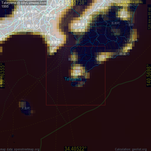
» NASA, Earths city lights 1995
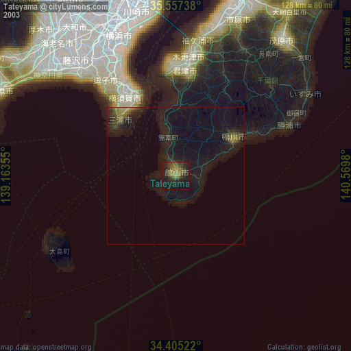
» NASA city lights 2003
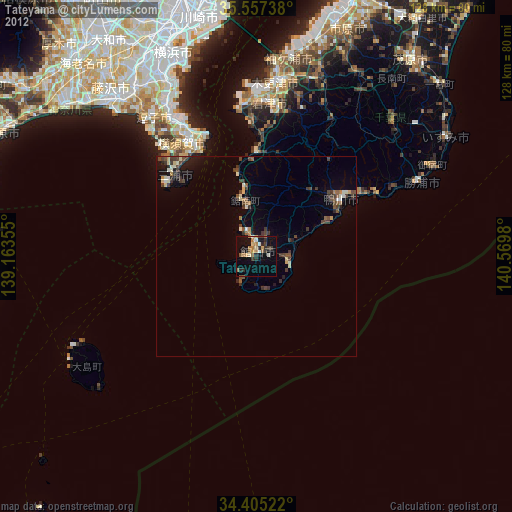
» Earth at Night: Flat Maps 2012, 2016