Kamogawa night lights from space
Night Light of Kamogawa (Chiba) from space (Japan) Src. Average luminocity for 10x10km area is 8.5857% and for 50x50km: 2.2629%.
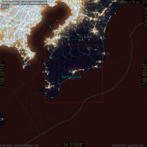
Analysis of Kamogawa night lights 2016
Square area 10x10 km:
 0.7%
0.7%90-99
0.7%80-89
0.7%70-79
0.7%60-69
1.92%50-59
1.4%40-49
1.57%30-39
2.27%20-29
3.32%10-19
1.57%0-9
85.14%Square area 50x50 km:
0.04%90-99
0.14%80-89
0.13%70-79
0.21%60-69
0.3%50-59
0.41%40-49
0.52%30-39
0.73%20-29
1.43%10-19
1.23%0-9
94.85%Clear (daylight) street map image can be seen on geolist.org.
Map coordinates:
35° 40' 12.5" North, 139° 23' 49.8" East
35° 5' 48.8" North, 140° 6' 1.1" East
34° 31' 10.5" North, 140° 48' 12.3" East
Some cities around Kamogawa sort by population:
• Kisarazu
35.3 km =21.9 mi,  334°
334°
• Mobara
40.7 km =25.3 mi,  25°
25°
• Kimitsu
35.1 km =21.8 mi,  323°
323°
• Futtsu
34.9 km =21.7 mi,  312°
312°
• Miura
44 km =27.3 mi,  276°
276°
• Tateyama
24.7 km =15.3 mi,  239°
239°
• Katsuura
20.3 km =12.6 mi,  74°
74°
• Ōhara
31.4 km =19.5 mi,  57°
57°
2112297 (p: 29,119)
Sources (retrieved 2019-11-25):
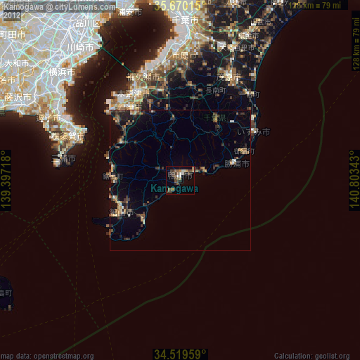
» Earth at Night: Flat Maps 2012, 2016