Kashiwazaki night lights from space
Night Light of Kashiwazaki (Niigata) from space (Japan) Src. Average luminocity for 10x10km area is 15.9903% and for 50x50km: 3.3913%.


Analysis of Kashiwazaki night lights 2016
Square area 10x10 km:
 0%
0%90-99
1.3%80-89
0.65%70-79
2.27%60-69
3.25%50-59
4.38%40-49
4.87%30-39
2.92%20-29
4.87%10-19
11.36%0-9
64.12%Square area 50x50 km:
0.09%90-99
0.33%80-89
0.37%70-79
0.27%60-69
0.45%50-59
0.52%40-49
0.95%30-39
0.93%20-29
1.07%10-19
2.57%0-9
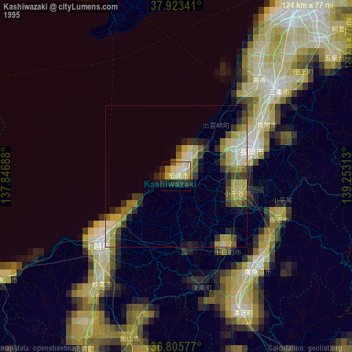
92.46%Clear (daylight) street map image can be seen on geolist.org.
Map coordinates:
37° 55' 24.3" North, 137° 50' 48.8" East
37° 22' 0" North, 138° 33' 0" East
36° 48' 20.8" North, 139° 15' 11.3" East
Some cities around Kashiwazaki sort by population:
• Jōetsu
36.9 km =22.9 mi,  228°
228°
• Nagaoka
28.1 km =17.5 mi,  70°
70°
• Sanjō
44.9 km =27.9 mi,  51°
51°
• Mitsuke
38.6 km =24 mi,  61°
61°
• Tōkamachi
32.3 km =20.1 mi,  143°
143°
• Ojiya
23.3 km =14.5 mi,  108°
108°
• Muikamachi
44.5 km =27.7 mi, 138°
• Tochio-honchō
41.2 km =25.6 mi, 72°
1859908 (p: 86,183)
Sources (retrieved 2019-11-25):
» NASA, Earths city lights 1995
» NASA city lights 2003
» Earth at Night: Flat Maps 2012, 2016