Matsubara night lights from space
Night Light of Matsubara (Ōsaka) from space (Japan) Src. Average luminocity for 10x10km area is 97.5927% and for 50x50km: 61.8589%.
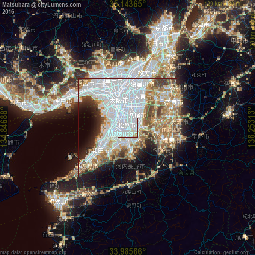
Analysis of Matsubara night lights 2016
Square area 10x10 km:
 56.12%
90-99
35.31%80-89
4.9%70-79
3.67%60-69
0%50-59
0%40-49
0%30-39
0%20-29
0%10-19
0%0-9
0%Square area 50x50 km:
26.95%90-99
10.78%80-89
6.43%70-79
5.43%60-69
7.56%50-59
6.79%40-49
4.98%30-39
3.48%20-29
4.97%10-19
7.98%0-9
14.65%Clear (daylight) street map image can be seen on geolist.org.
Map coordinates:
35° 8' 37.1" North, 134° 50' 48.8" East
34° 34' 0" North, 135° 33' 0" East
33° 59' 8.4" North, 136° 15' 11.3" East
Some cities around Matsubara sort by population:
• Osaka
14.8 km =9.2 mi,  342°
342°
• Sakai
7.9 km =4.9 mi,  283°
283°
• Yao
7.2 km =4.5 mi,  39°
39°
• Izumi
14.1 km =8.8 mi,  229°
229°
• Tondabayashichō
8.8 km =5.5 mi,  146°
146°
• Izumiōtsu
15.6 km =9.7 mi,  241°
241°
• Kashihara
6.4 km =4 mi,  73°
73°
• Takaishi
12 km =7.5 mi, 242°
1857568 (p: 130,855)
Sources (retrieved 2019-11-25):
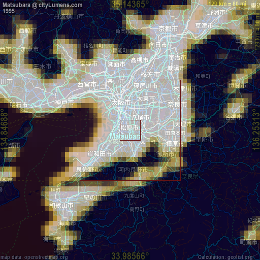
» NASA, Earths city lights 1995
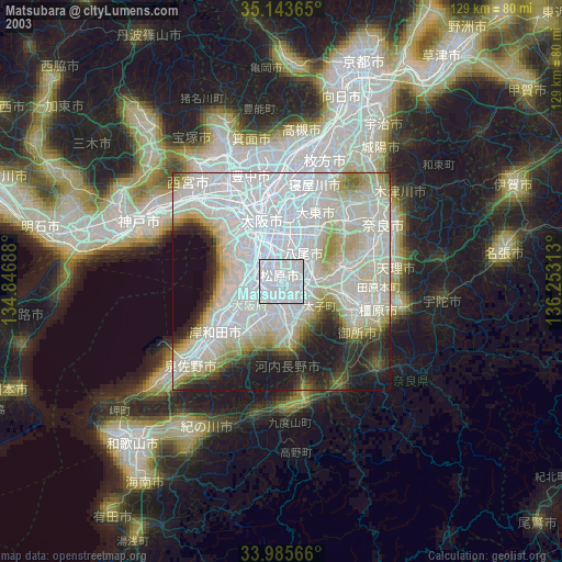
» NASA city lights 2003
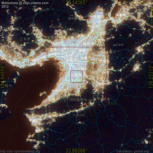
» Earth at Night: Flat Maps 2012, 2016